Welcome

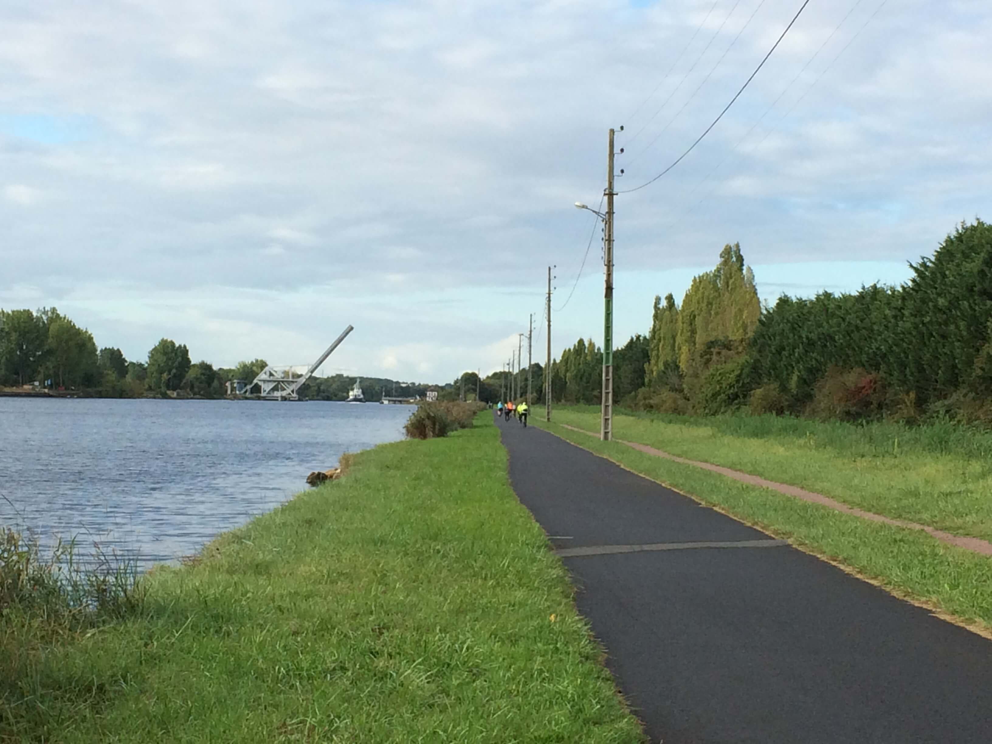
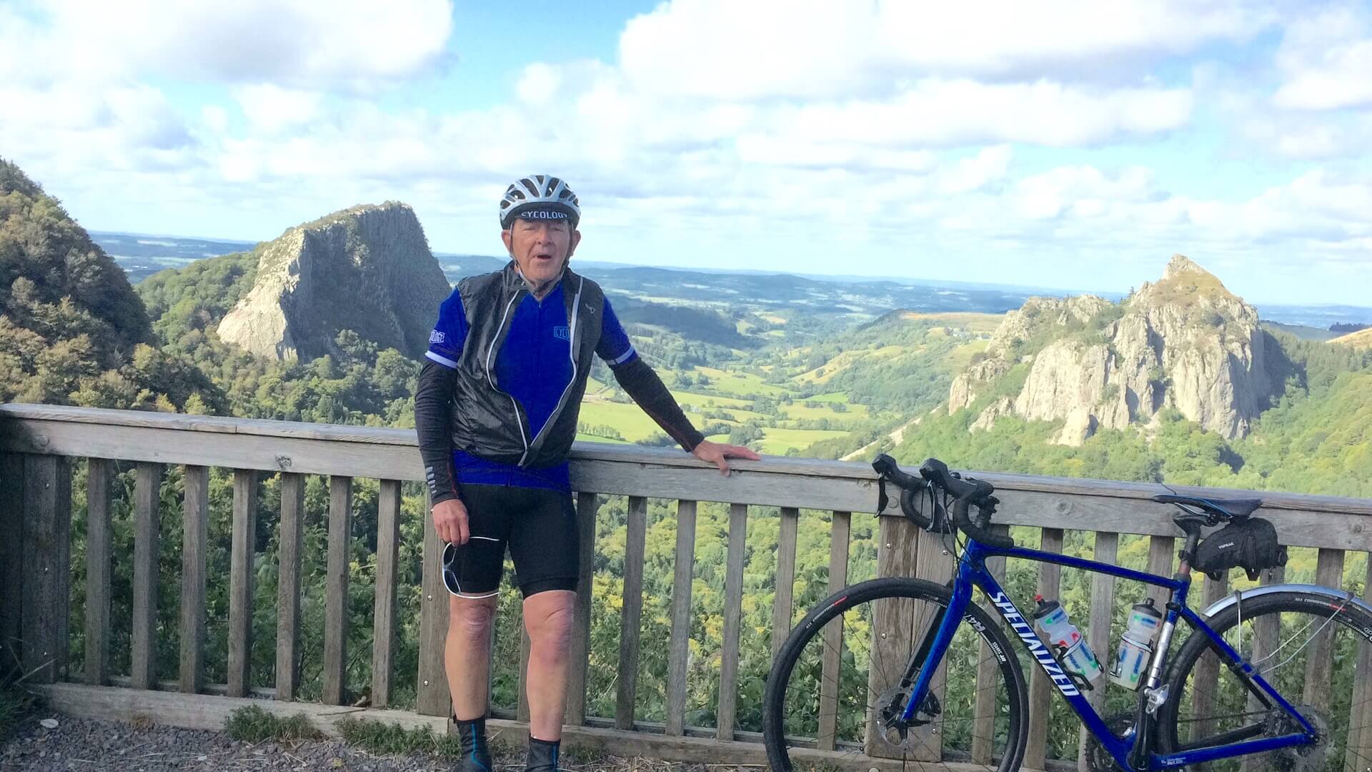
This coming Friday, 8th September, I will be taking  the Portsmouth ferry to Ouistreham near Caen ready to begin cycling through France on Saturday. The Channel to the Mediterranean ride will end in Nice, 14 days and 870 miles later, having taken in a climb of Mont Ventoux along the way. The trip is organised and supported by the excellent Peak Tours who I used in 2015 when I rode from Land’s End to John O’Groats (LEJOG).

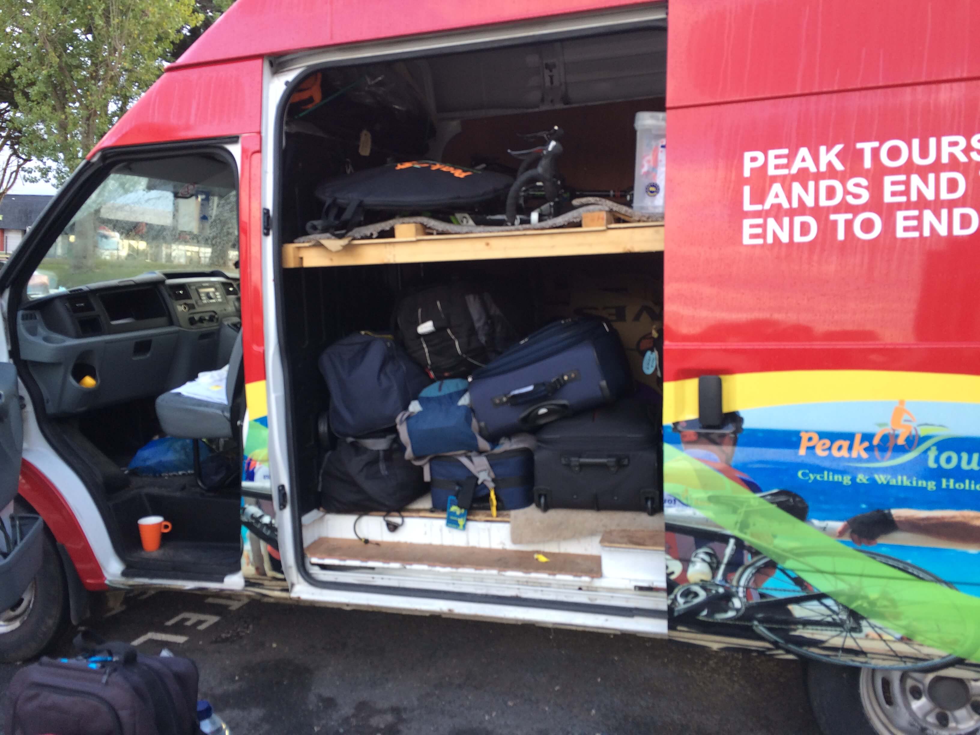
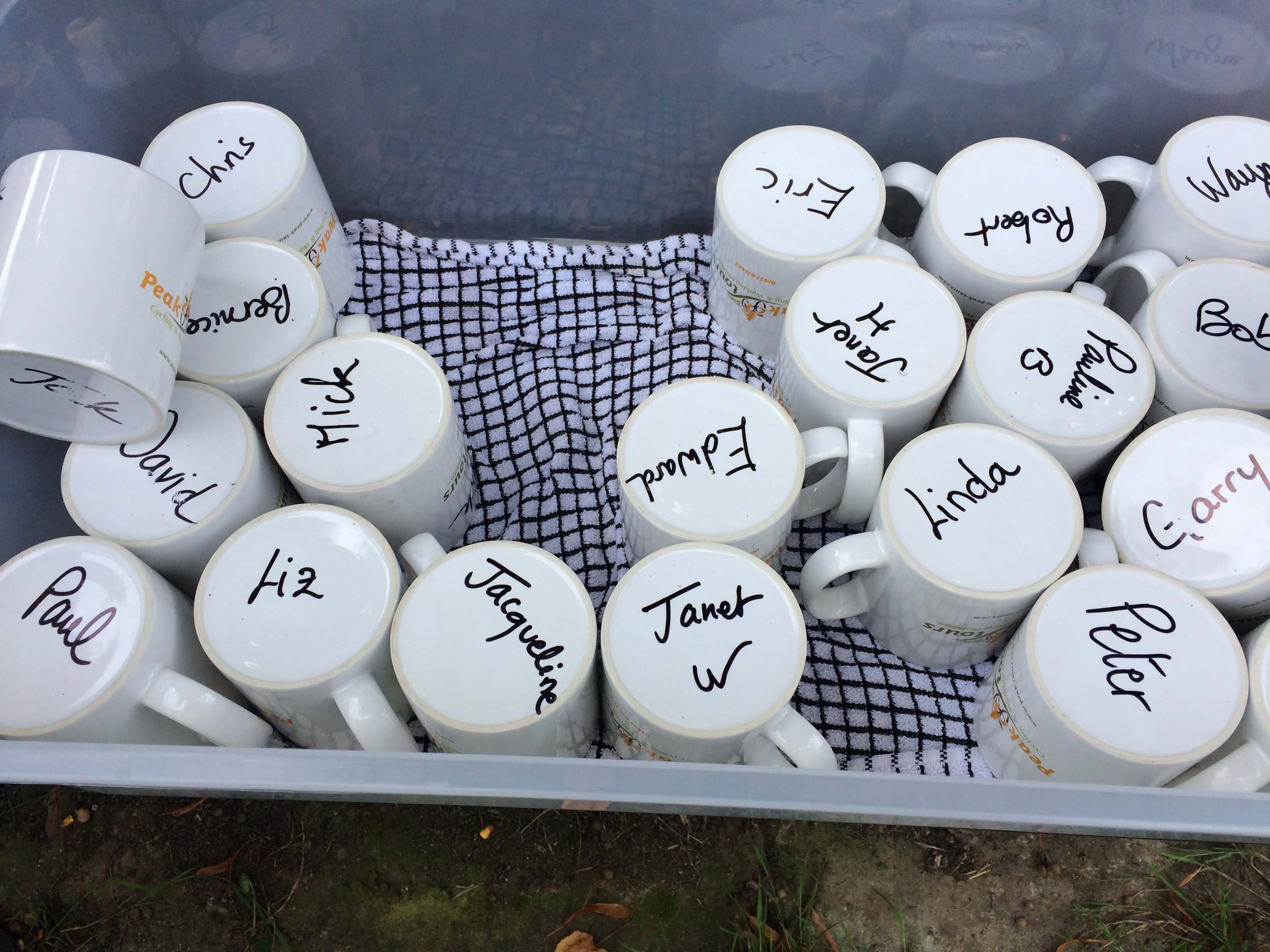
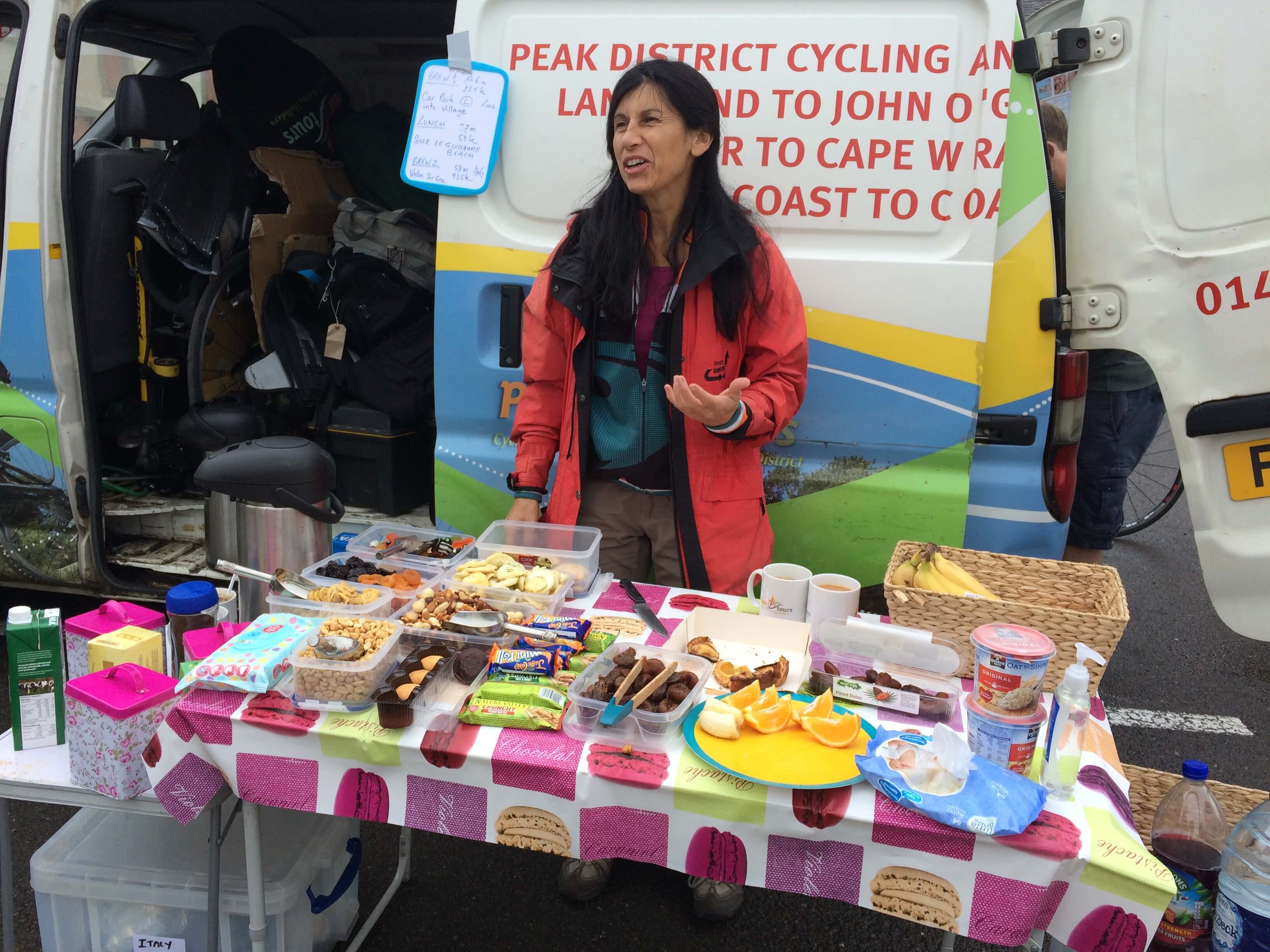
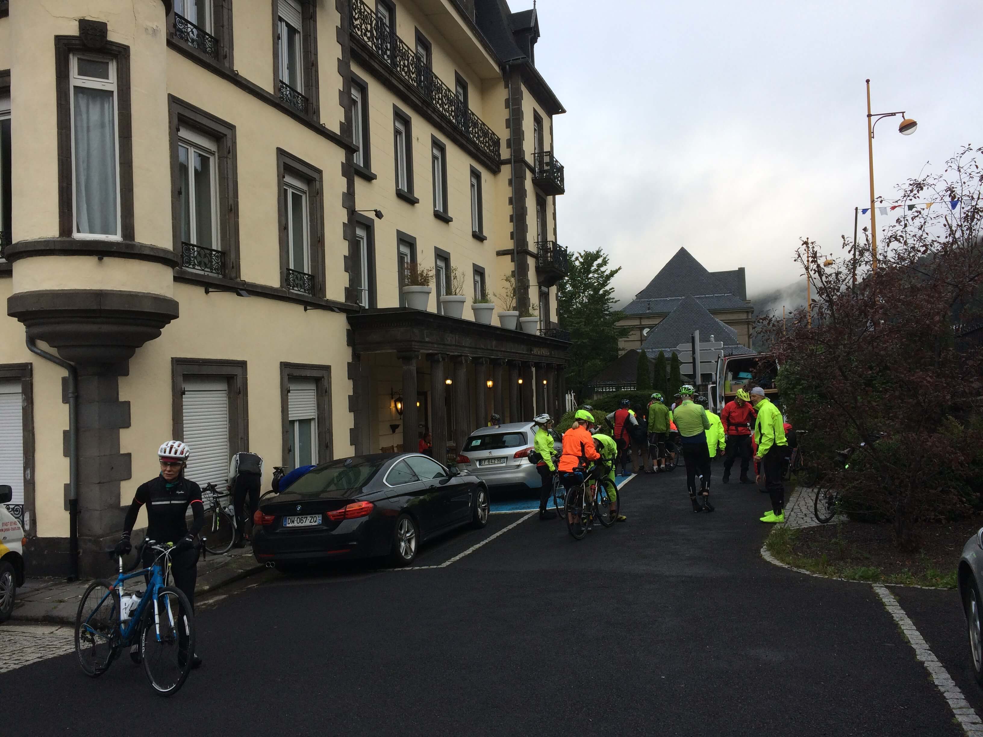
The group will be about 25 strong and from all parts of the country. I am particularly looking forward to meeting up with some good friends I made on the LEJOG. Each rider is provided with daily route notes and Sat Nav files and are left to navigate individually or in small groups. The “Magic Brew Van” will stop en route mid morning and afternoon with a selection of drinks and goodies. Lunch will also be provided each day.

I hope you enjoy the blog which I aim to update daily, WIFI access and fatigue levels permitting!


Fordingbridge to Ouistreham

Not cycling yet!

Mary dropped me of at the ferry at 1pm where I met up with several of the group, including Pauline and Mick, good friends from the LEJOG a couple of years ago.

Passed by the new carrier on the way out which is very impressive. Not only very long but also surprisingly wide.

Arrived in Ouistreham in the rain – welcome to Normandy! Luckily tonight’s hotel is just outside the dock gate. 8.30 start tomorrow when I should meet the rest of the group and then head off south.


Day 1 Caen to Bagnoles de l’Orne

68.2 miles, Ascent 1150 metres, average speed 12.0 mph

Baggage van packed.

We were on the road by 9:15 with a long flat route along a cycle path beside the Orne canal passing by the Pegasus Bridge which was open for fishing boats to pass.

1 km to go.

After passing through Caen we followed the river Orne to the brew stop at 18 miles then on to our lunch stop at Clecy. I had a very pleasant surprise when our very good friends, Edith & Pierre arrived from Lisieux to say bonjour. After lunch the route became hilly and the weather showery but the last 5 miles into Bagnoles de l’Orne were mostly downhill.On the run in to Bagnoles we shared the road with a cycle race!!! 1 km to go.


Day 2 Bagnoles de l’Orne to La Fleche

78.1 miles, ascent 1459 metres, average speed 12.0 mph, riding time 6hrs 29mins.

Left Bagnoles in misty conditions which cleared after our first climb, leaving an overcast sky to the brew stop at 14 miles. The lovely Isabel drives the brew van which is stocked with all sorts of delicious goodies as well as tea, coffee and soft drinks. We all have our own mugs with our names at the bottom so the we know who’s who when we drink!
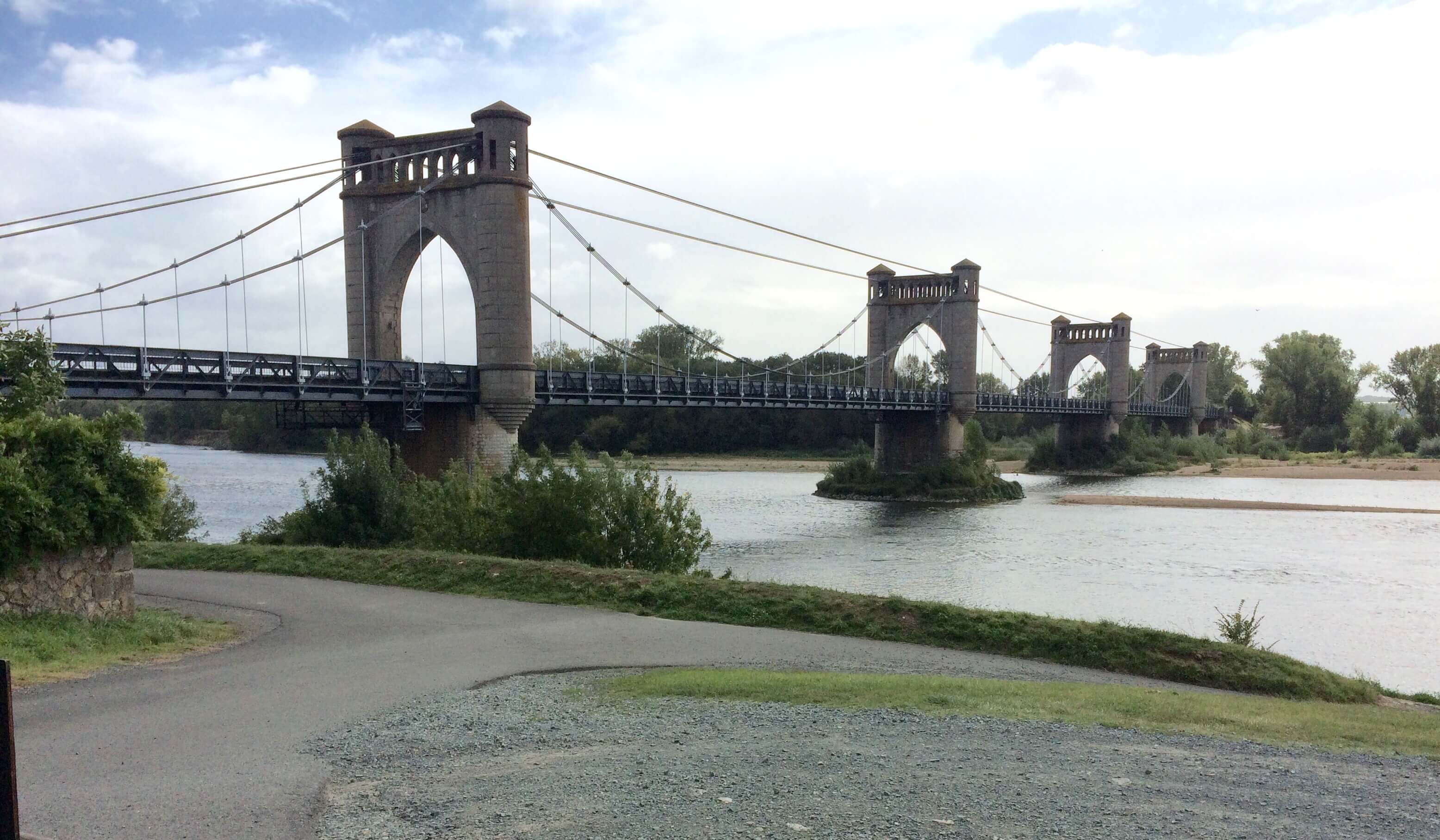
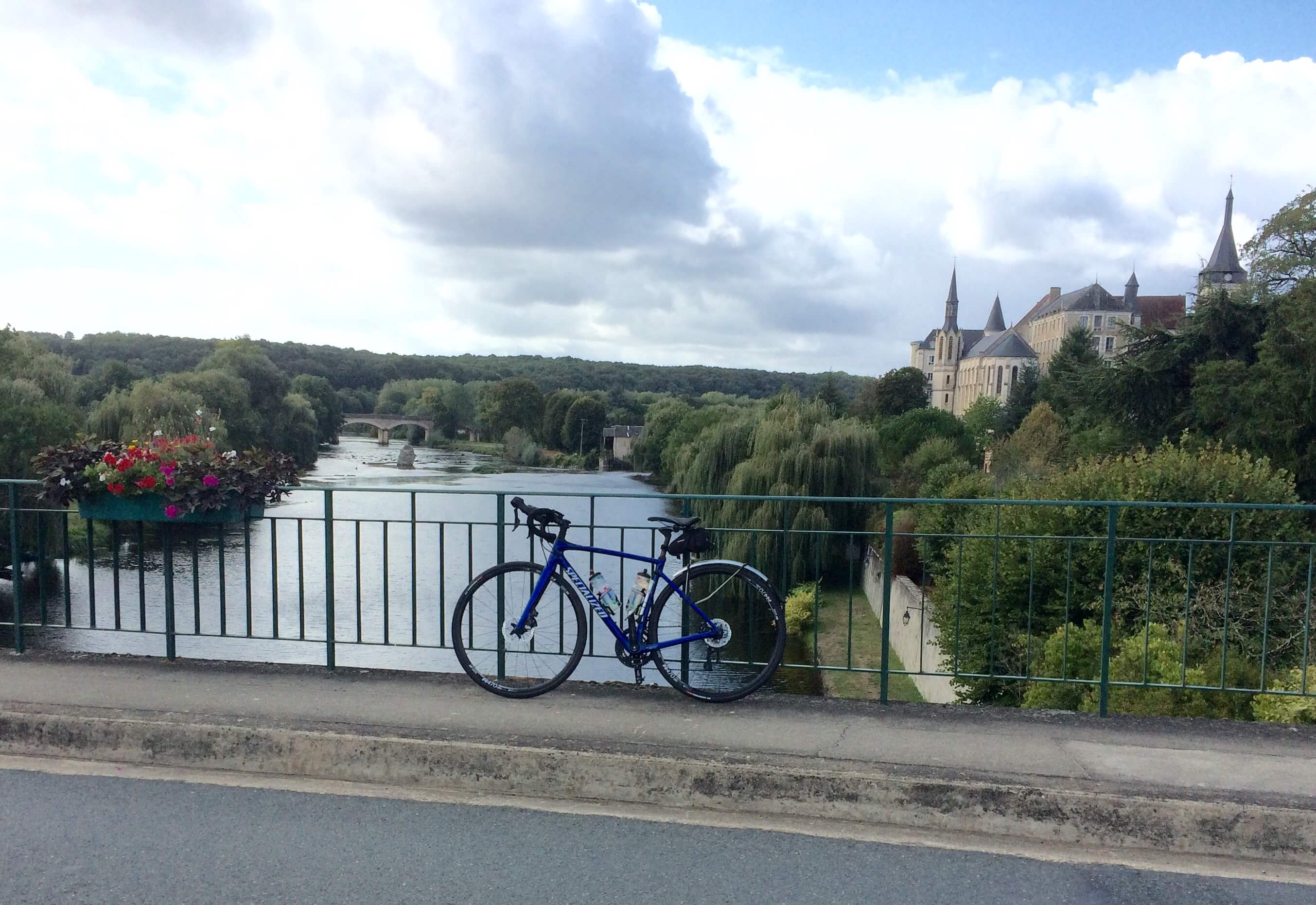
The route to the lunch stop at Sille Le Guillaume was undulating with steady climbs and long sweeping descents. As we approached lunch the sun came out – the first sighting of the trip. I had another nice surprise when our dear friends Mike and Catherine joined me at lunch and brought a present of two slices of fruit cake which went down well with my post ride beer. The route flattened out after lunch but, just so thing didn’t get too easy, quite a strong crosswind got up.

James photo bombing at the vide grenier in Verron.

In Verron we had to walk through town as a large flea market was taking place. After almost 70 miles in the saddle I did think about making an offer for the saddle on the child’s bike in the photo!

Longest day of the tour completed!!!


Day 3 La Fleche to Loche

78.5 miles, ascent 1000 metres, average speed 12.8 mph. Interestingly  my recorded mileage was slightly higher than yesterday’s which was billed as the longest!

Rob doing the morning briefing.

Rob gave the morning briefing pointing out any hazards along the route and giving the locations of brew stops and lunch.

The river Sarthe at La Fleche

I lost contact with my riding buddies, Pauline and Mick, while I stopped to take the photo above. As I had the only working sat Nav of the three of us it caused P&M some navigational problems. Fortunatley they were swept up by our support guy Chris and we all met up at the brew stop in Noyant some 18 miles into the ride. The weather today has been mostly sunny but  with a strong crosswind which, very occasionally, turned to be at our backs. At 41 miles we stopped for a very nice picnic lunch on the banks of La Loire at Langeais. Rob, Isabel and Chris from Peak Tours are treating us really well.

Rob checking for butter!
The bridge at Langeais

The route after lunch was undulating until we reached the brew stop at Thilouze after 46 miles. Suitably fortified we had a long flat section with a following wind which allowed us to make good progress to Loche where we arrived about 4:30. Another long day but perhaps a little easier than yesterday – or, more accurately, less difficult! We have been passing through apple growing country with lots of commercial orchards beside the road. A little scrumping may have been going on – very tasty!

Loche is a picturesque medieval town and we are staying in the Hotel de France which is in the town centre.

Hotel de France


Day 4. Loche to Crozant

71.57 miles, ascent 1241 metres, average speed 12.3 mph, elapsed time 5hrs 47 mins. No wifi yesterday so no blogging and now I am having difficulty remembering what happened!!

The morning was cool with a clear sky when we left Loche at about 8:45. The route was mostly flat up to our first stop in Le Tranger on the banks of the Indre river – a picturesque location.

Mick and Pauline crossing the river Indre after morning brew stop at Le Tranger

 The route stayed relatively flat until our picnic lunch at Moebecq  after 37 miles. We crossed the river Creuse several times and followed the route of the Vallee de la Creuse for the rest of the day, frequently climbing out and descending back in to the valley.
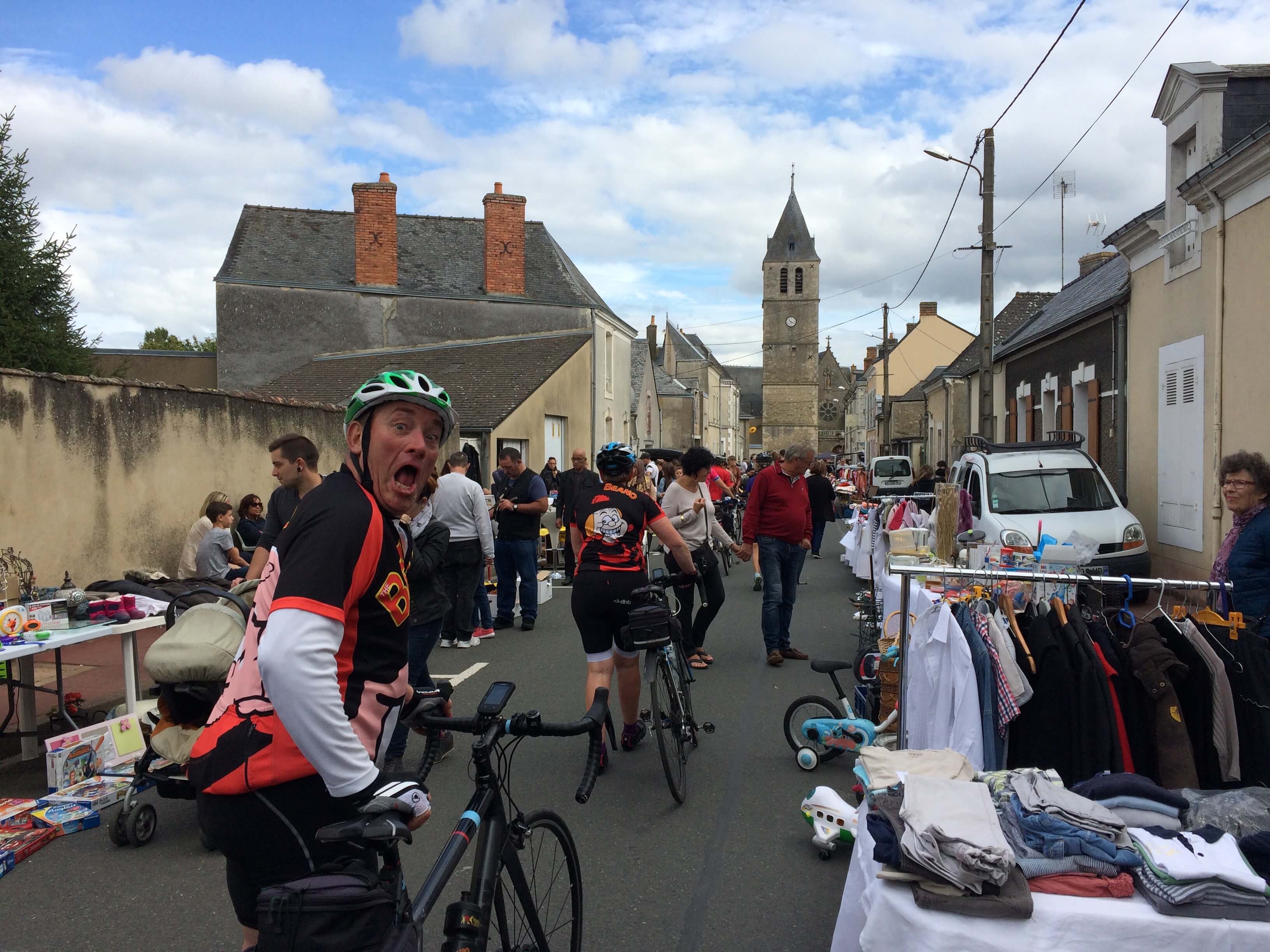
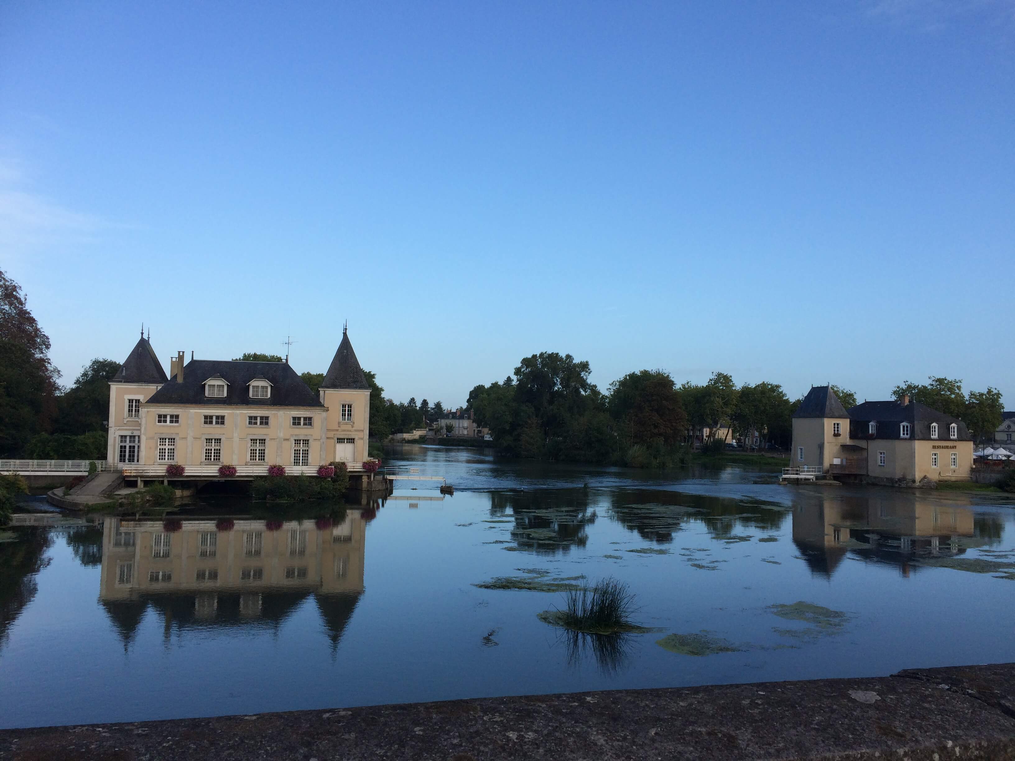
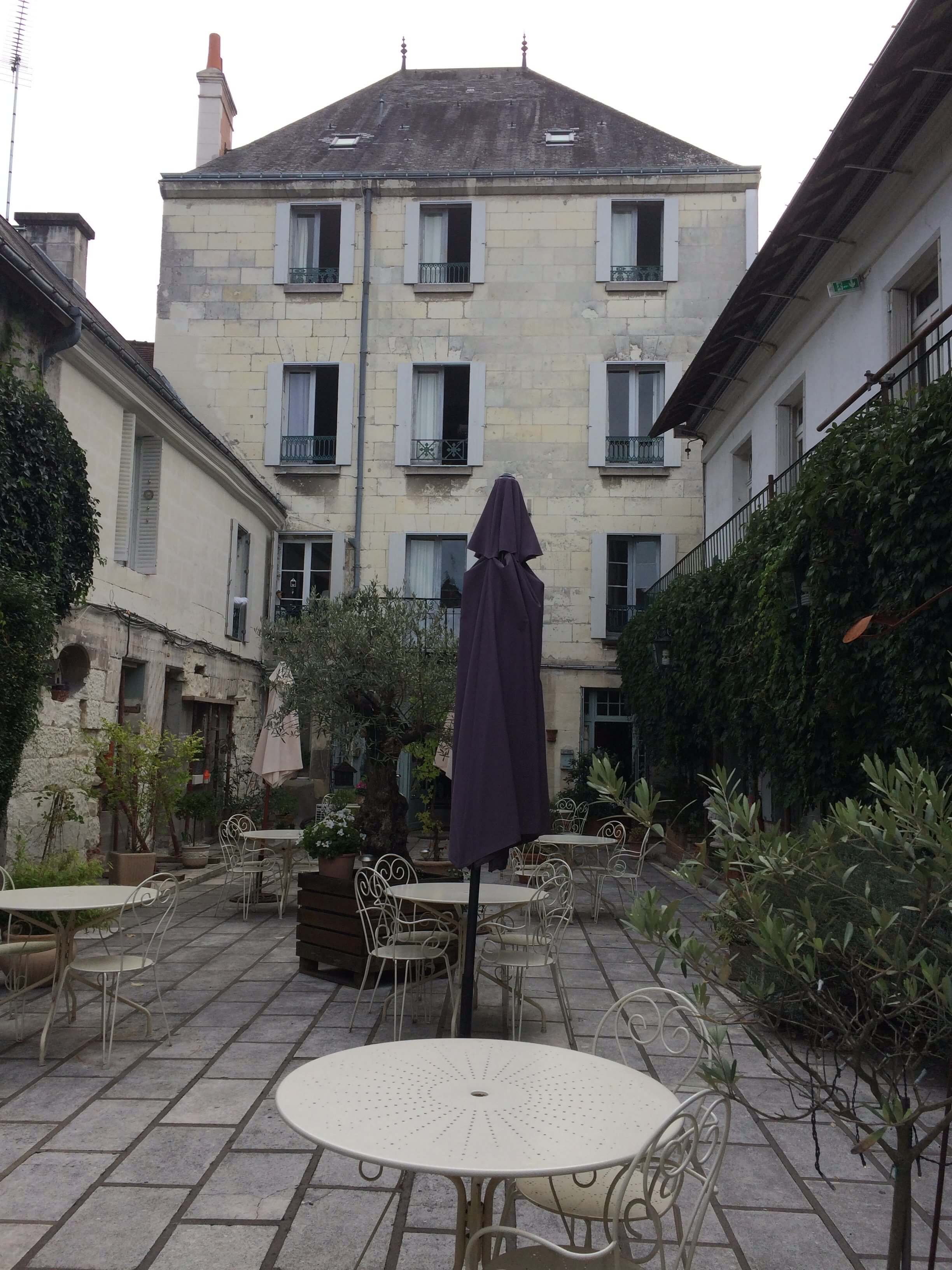
We arrived in Crozant about 4pm and enjoyed a couple of well earned beers before moving on to the Hotel du Lac. In the evening we enjoyed an excellent meal and helped to celebrate Simon and Liz’s Silver Wedding Anniversary! 
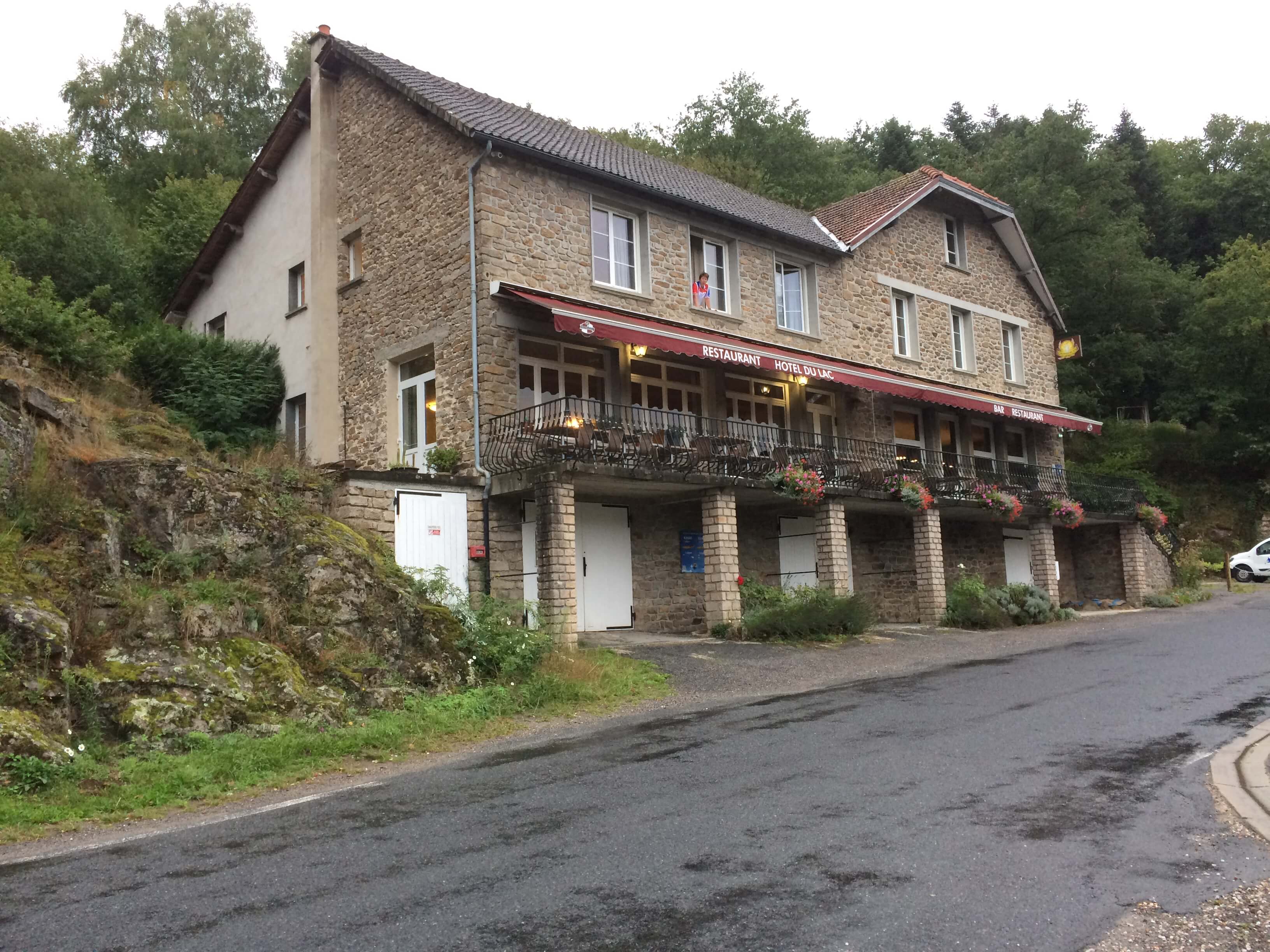
Day 5 Crozant to Moutier Rozeille

60 miles, ascent 1500 metres, average speed 10.06 mph, elapsed time 5hrs 33 mins

Rained all day, windy at times but the temperature was warmish. The morning started with a steady climb away from the Hotel du Lac which is located on the banks of the river Creuse. The river depth was 5 metres lower than normal due to some sort of maintenance going on, it looked as though the tide was out.

The day’s route continued along the Vallee de la Creuse similar to  yesterday but this time “on steroids”. Arrived at the brew stop after 14 miles feeling very damp under my waterproof. The route to lunch included some interesting descents into the valley due to the wet and gravelly road surfaces. 
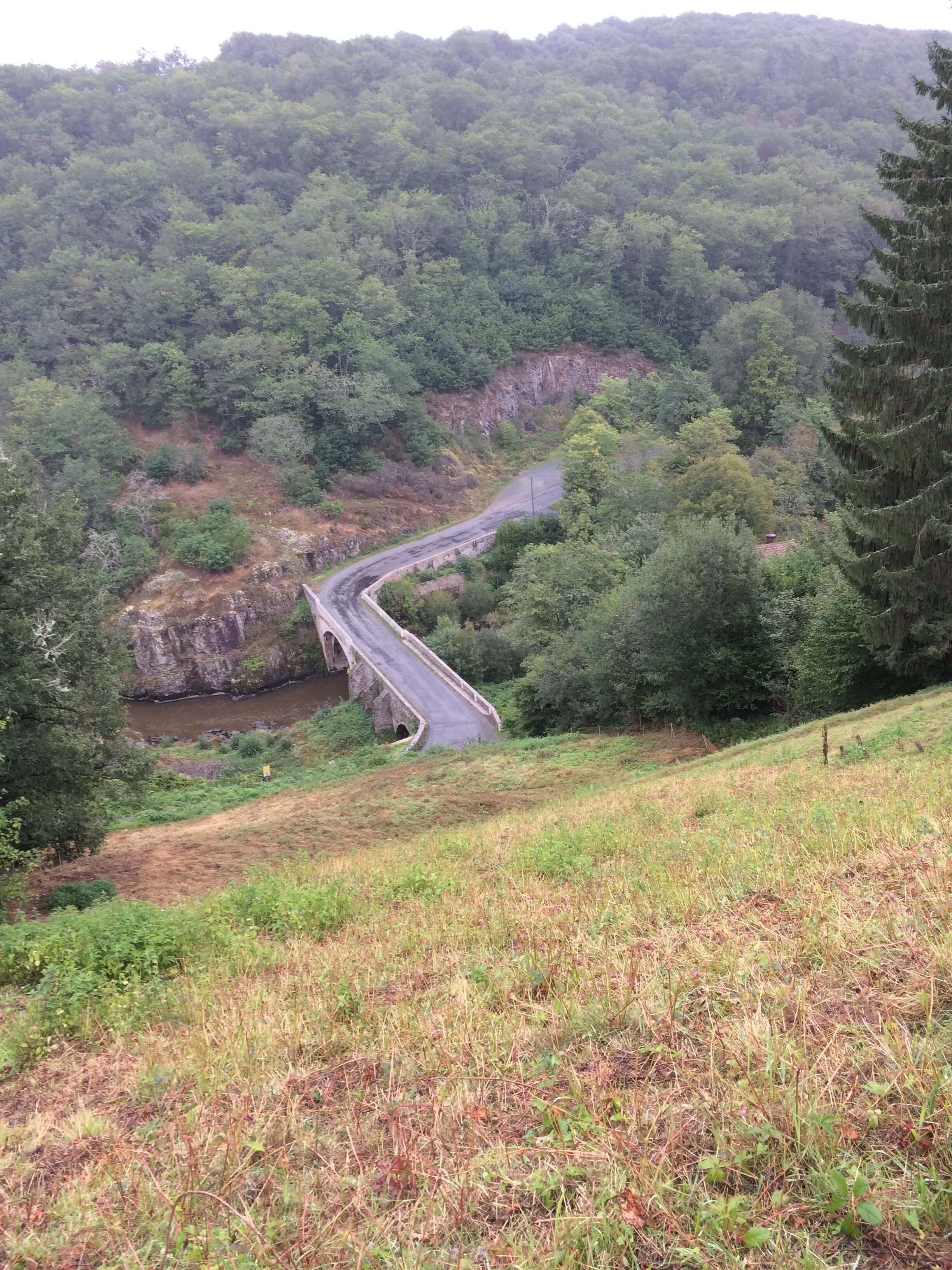
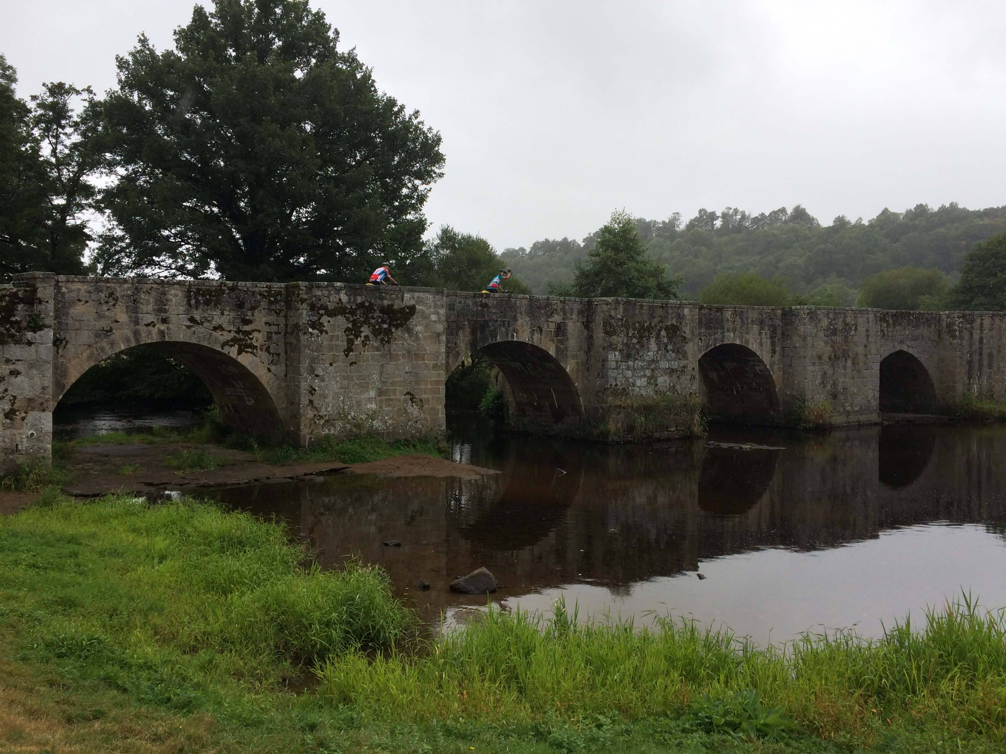
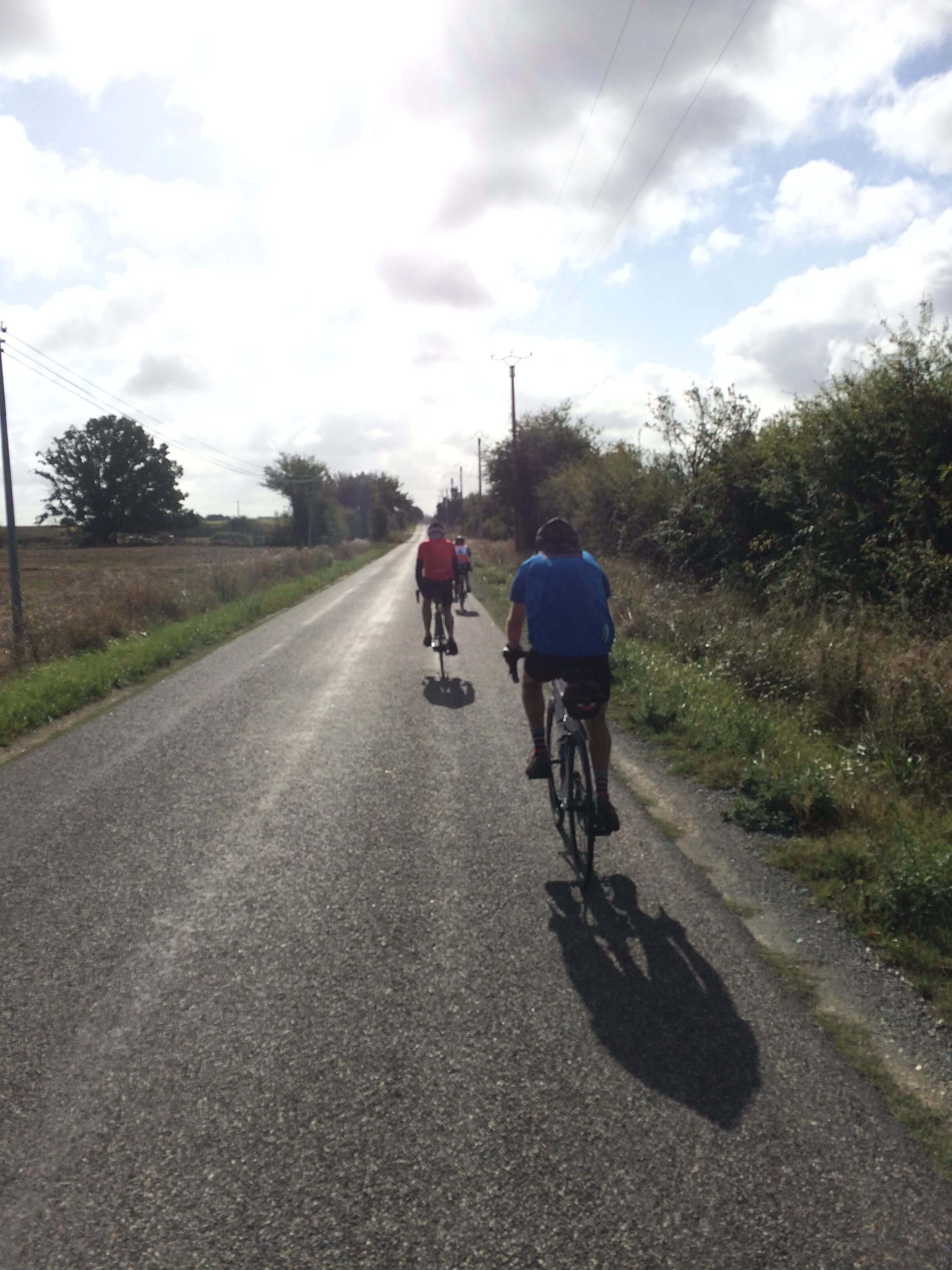
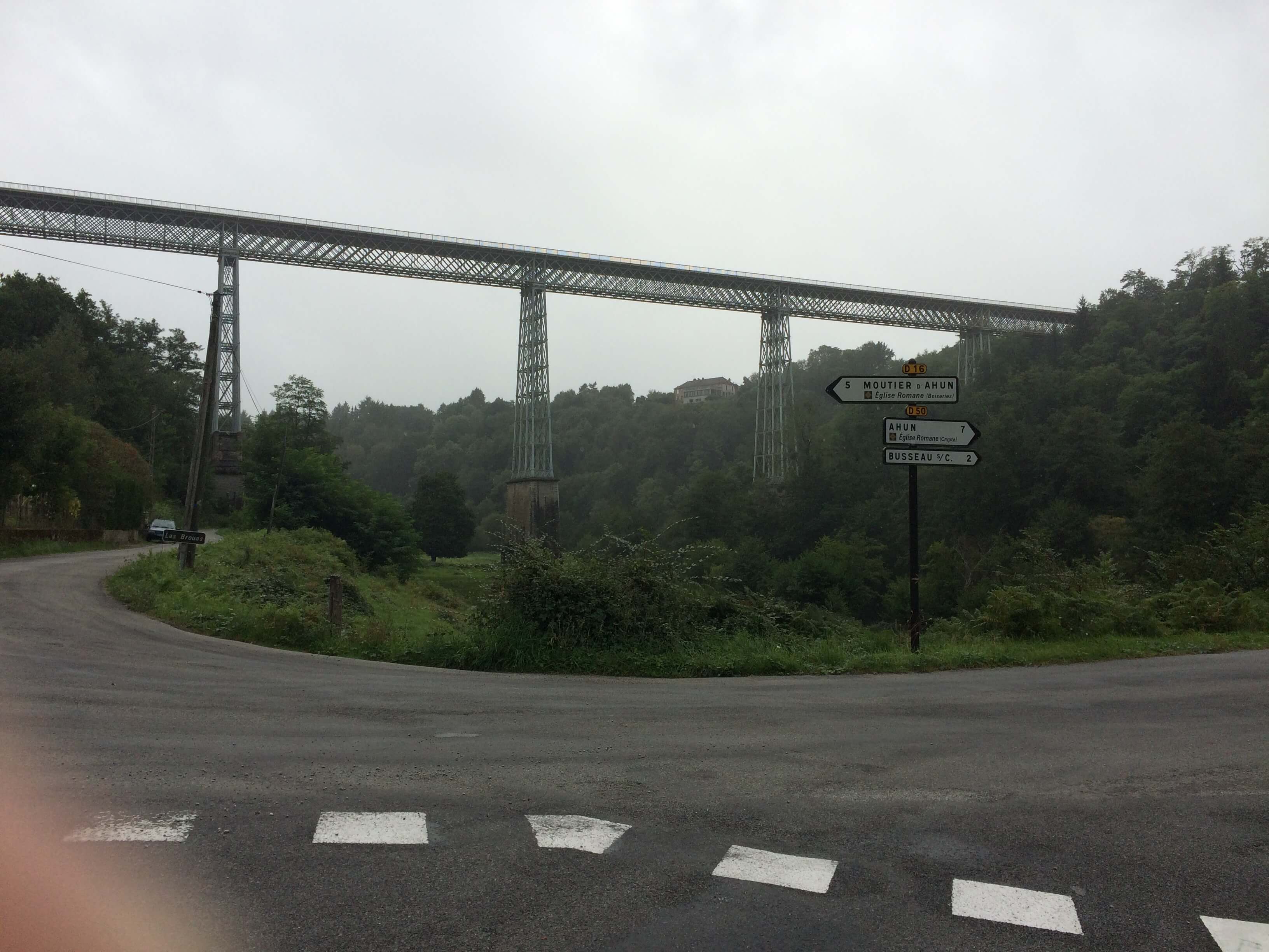
Lunch came at 28 miles at a restaurant in Saint Fiel. More rain and climbing until afternoon brew at 42 miles again by the Creuse.

The group is spread between 2 hotels tonight, one in Aubusson and one 3 miles further on, no prizes for guessing which one I am at! Still, 3 miles less to do tomorrow.

Day 6. Aubusson to Le Mont Dore

58.18 miles, ascent 1679 metres, average speed 10.6 mph, elapsed time 5 hrs 29 mins.

The day did not get off to a good start. I had forgotten to put my name on my day bag which was dropped off at the hotel in Aubusson the previous evening – I was in a hotel some 3 miles away.

A very wet start to the day

Not a massive problem under normal circumstances except that this morning it was pouring with rain and my good waterproof was in the day bag! So I set off with my light weight waterproof and was very damp within a few minutes. Luckily I was reunited with my bag at the first brew stop at 13 miles and donned my waterproof and every available bit of dry clothing and soon warmed up. The run to lunch was fairly flat with lovely smooth road surfaces so good progress was made. The route to the afternoon stop became hillier and the scenery similar to the Scottish Highlands.

After the afternoon coffee stop the serious climbing began with a 10km climb up the Col de Guery which topped out at 1268 metres.

The climb to Col de Guery

The scenery was becoming more dramatic with the best views from the very top.

The view from Col de Guery

The reward for the afternoon’s efforts was a cold but sweeping 5 mile descent into our destination of the ski resort of Le Mont Dore.

Day 7. Le Mont Dore to St Flour.

66.42 miles, average speed 10.5 mph, ascent 1814 metres (5951 ft), elapsed time 6 hrs 17 mins.

The Grand Hotel Le Mont Dore
Isabel’s all important daily Brew and Lunch stop information board.

The weather is becoming very disappointing. As we set off from The Grand Hotel the temperature was in single figures with little prospect of it increasing to well into the morning. I had packed my longs and warm gloves as a last minute thought and I am glad I did – I had everything on.  The morning started with a 5 mile climb up to the Col de la croix St Robert at 1451 metres.

First of three cols today.

We were in the clouds so no decent views until we descended on a fast smooth road surface. Our morning coffee stop was at 14 miles in the village of Verrier, a chance to get some warmth back into the fingers. After coffee it was back up again, this time to the Col de la Chaumoune at 1155 metres. We were now enjoying better weather and the views stretched for miles. 
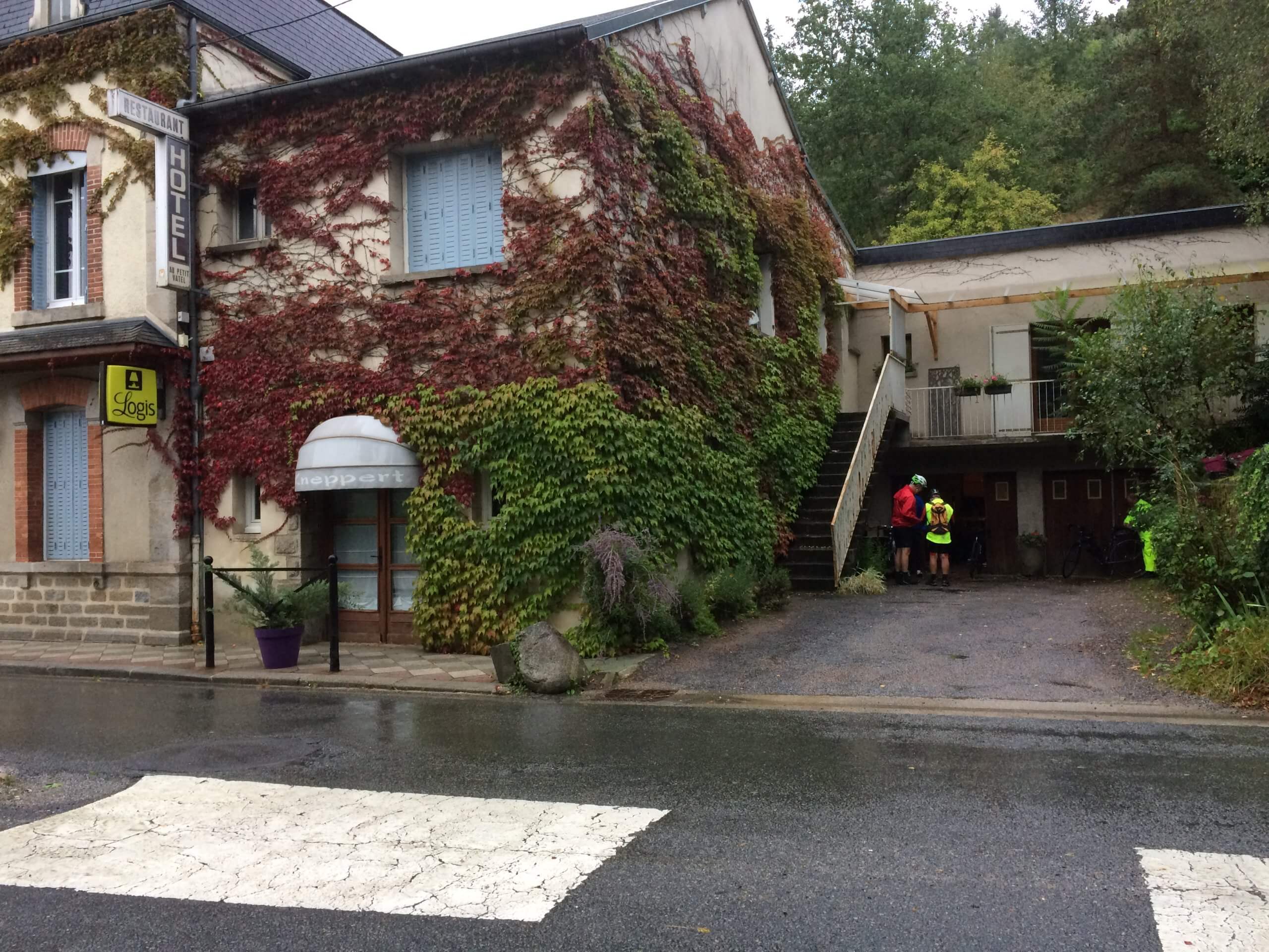
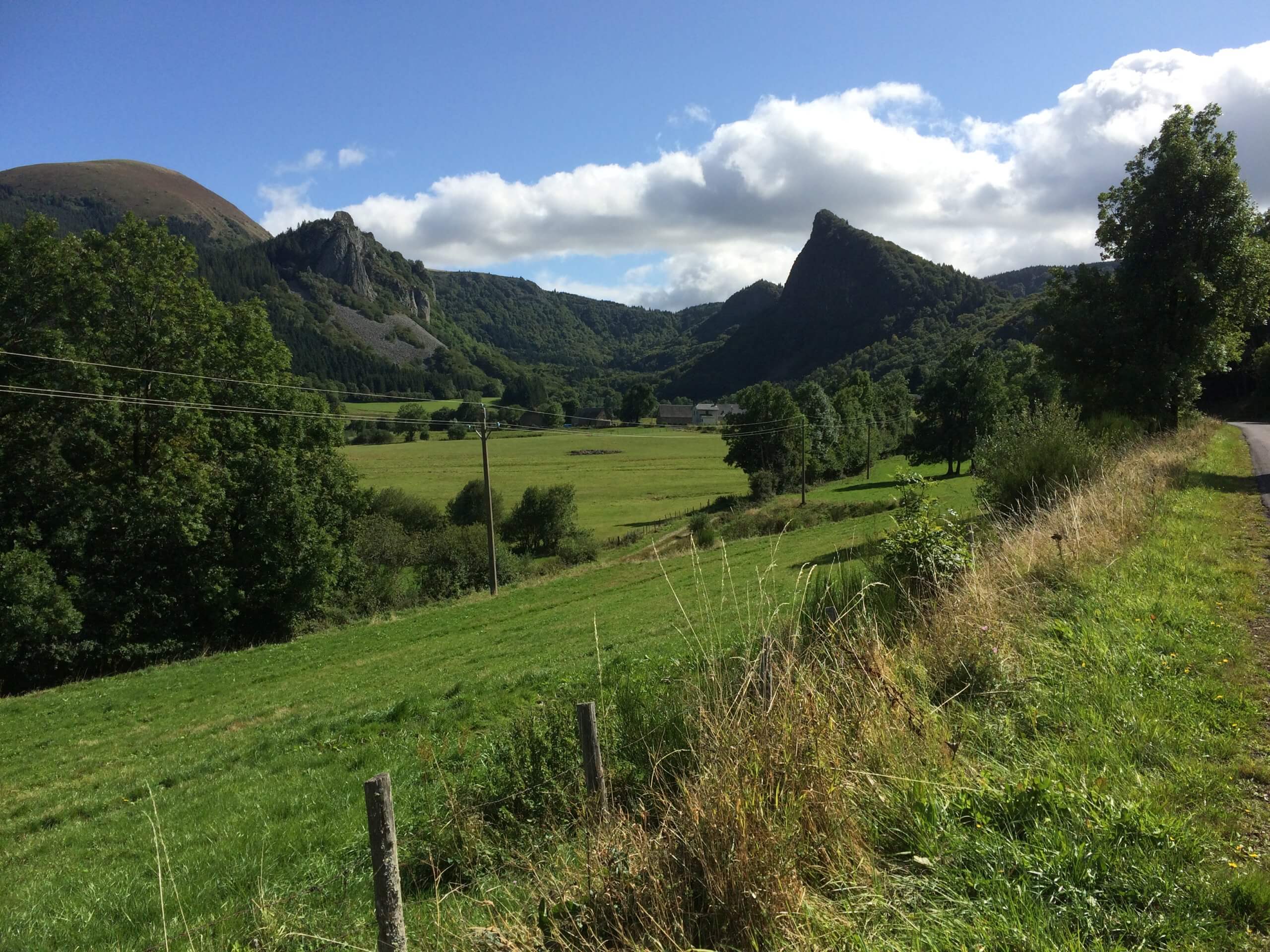
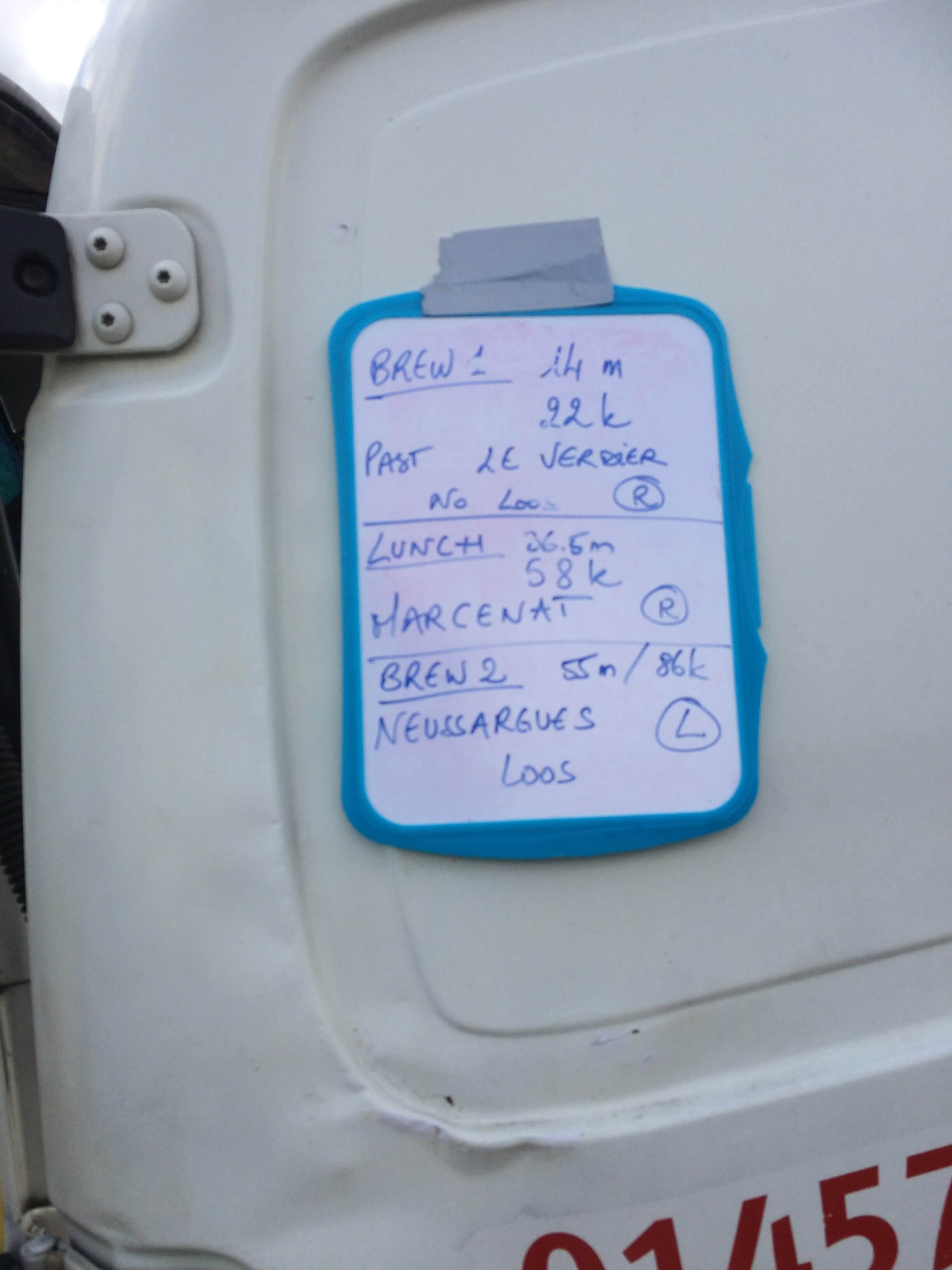
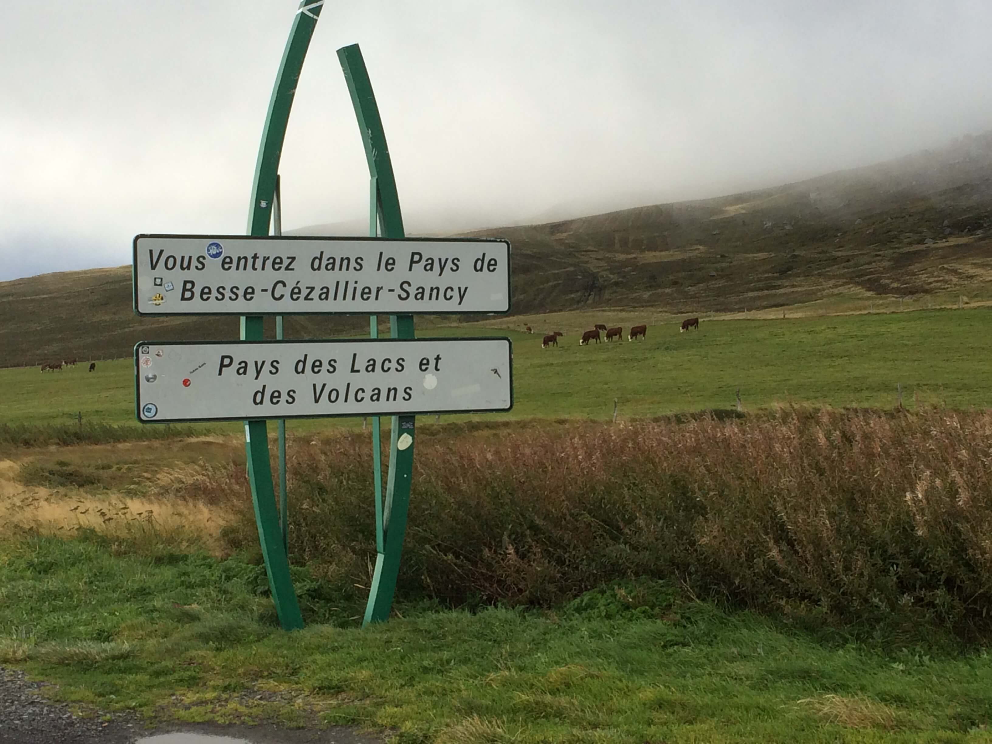
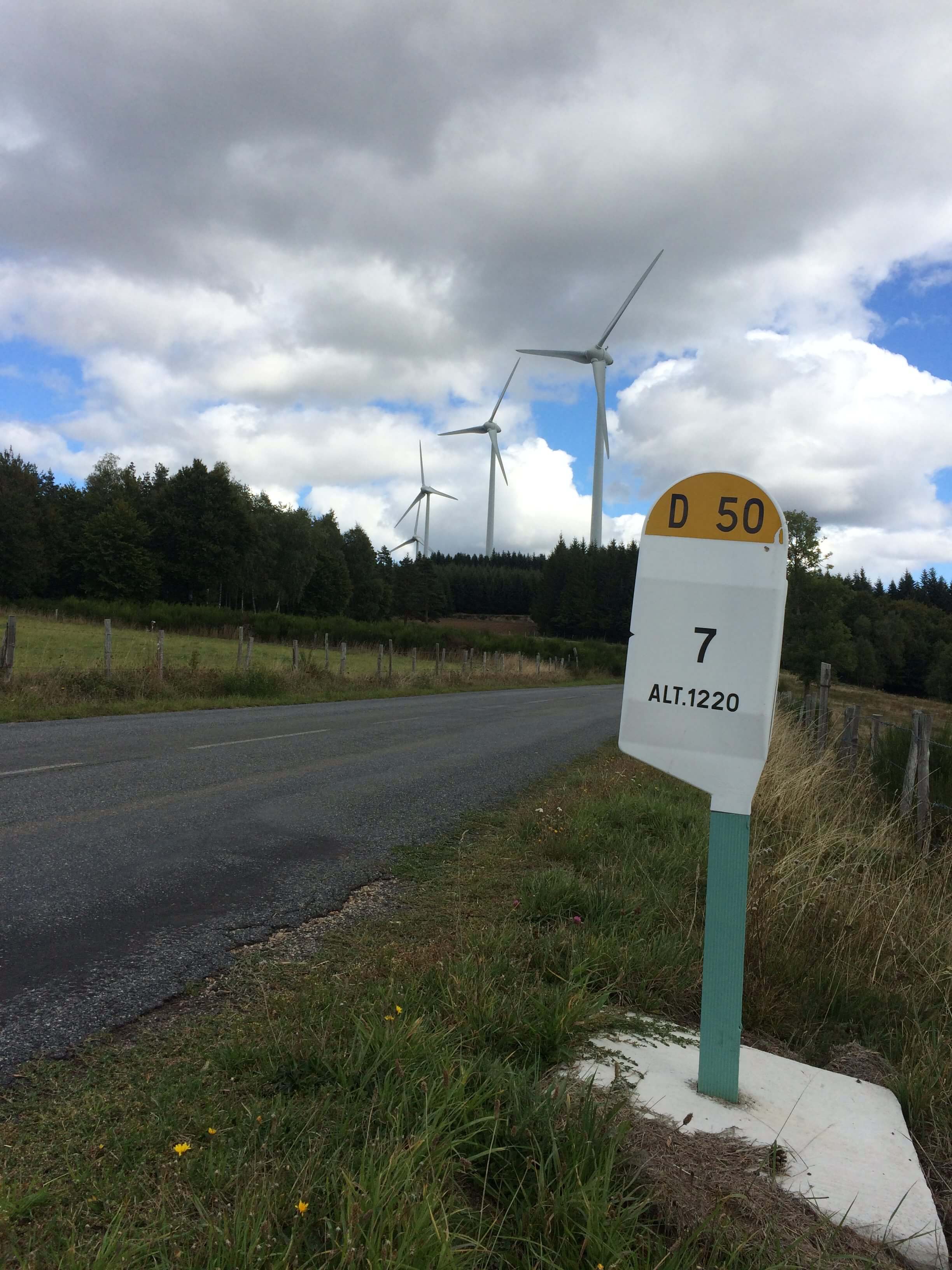
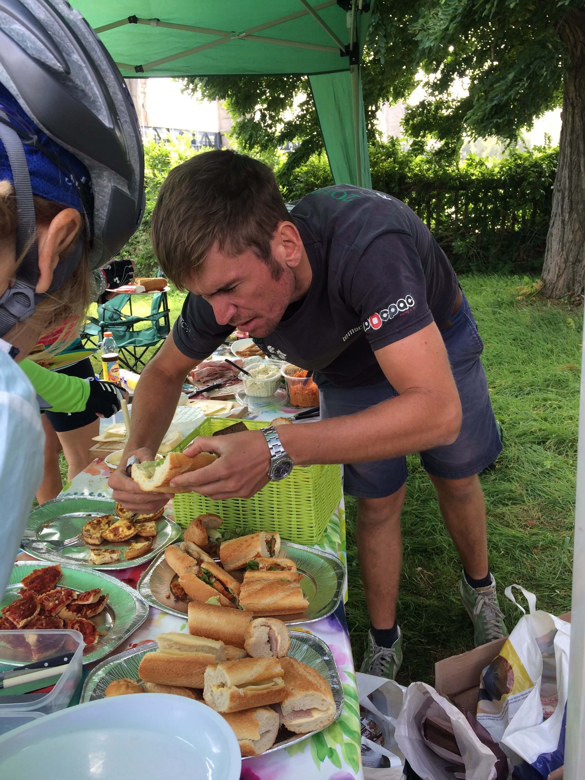
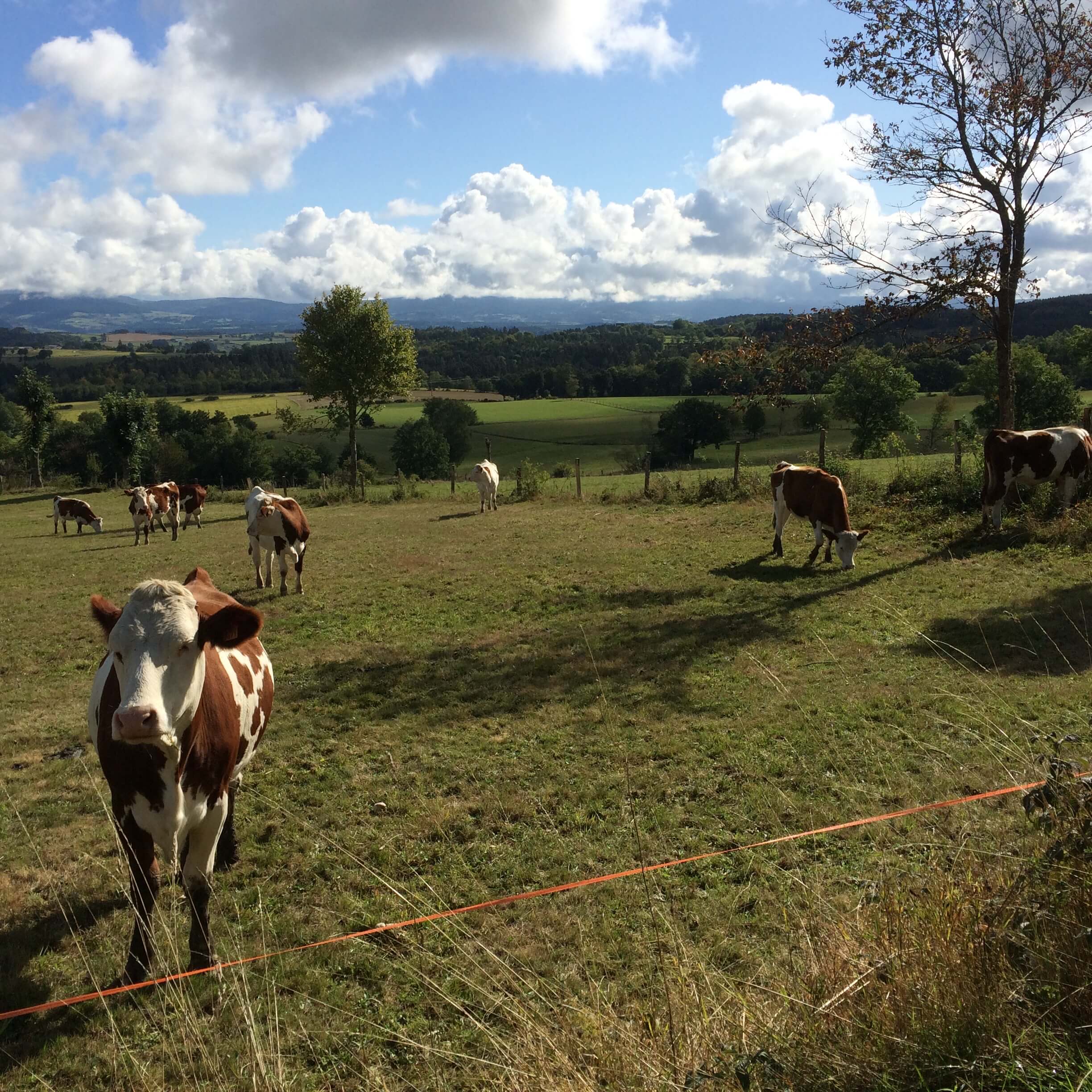
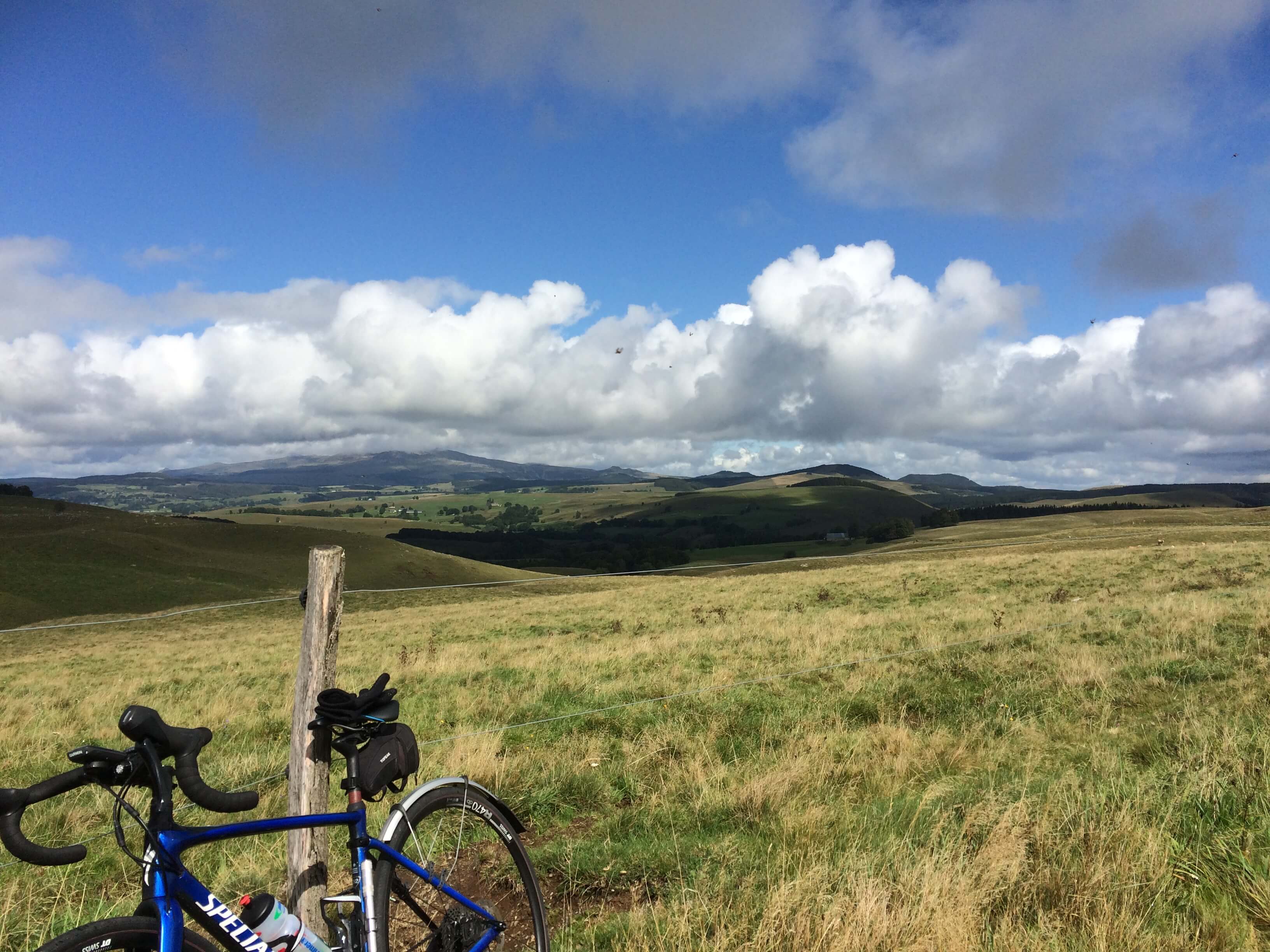
This is a beautiful area of France with lots of cattle, many of them with bells around their necks – which must be very annoying! Lunch was taken at Marcenat. We had a Peak Tours picnic in a cafe run by an octogenarian lady. Met a young couple who are riding through France, Italy and Croatia carrying all their camping kit. Rather them than me. After lunch we enjoyed a wonderful 15 miles of downhill to the coffee stop in Neussarges at 55 miles. The last section to St Flour was remarkable for the heavy rain in the last few miles including the climb up to the town where we mingled with fairly heavy traffic. Our hotel, Les Planchette, was an old Monastery, basic but comfortable. I ate in town with friends Pauline and Mick. We had delicious strips of beef which the waitress delighted in telling us were from Scotland! A surprise after all the cattle we have seen.

I must apologise for the lack of photos. I have been taking quite a few but they just take so long to upload. I hope to upload some once I have caught up.

Day 8 St Flour to Mende

51.32 miles, ascent 1477 metres, average speed 10.4 mph, 4 hrs 55 mins.

Hotel Planchettes – an old monastery.

A shorter day today but still with a fair amount of climbing. We had the now customary early morning climb followed by a fast descent to a lake and spectacular iron viaduct.

The Garabit Viaduct over the Truyere river. Ruynes en Margaride.

There was a long hard flog up to the brew stop at Faverolles after 12 miles. I found the climbing a little difficult this morning probably due to a combination of long climbs yesterday and having picked up a cold. The cold mornings mean dressing up well but then becoming hot on the first climb then cold on the long descents. Some nice blue sky with huge white clouds and more great scenery. 
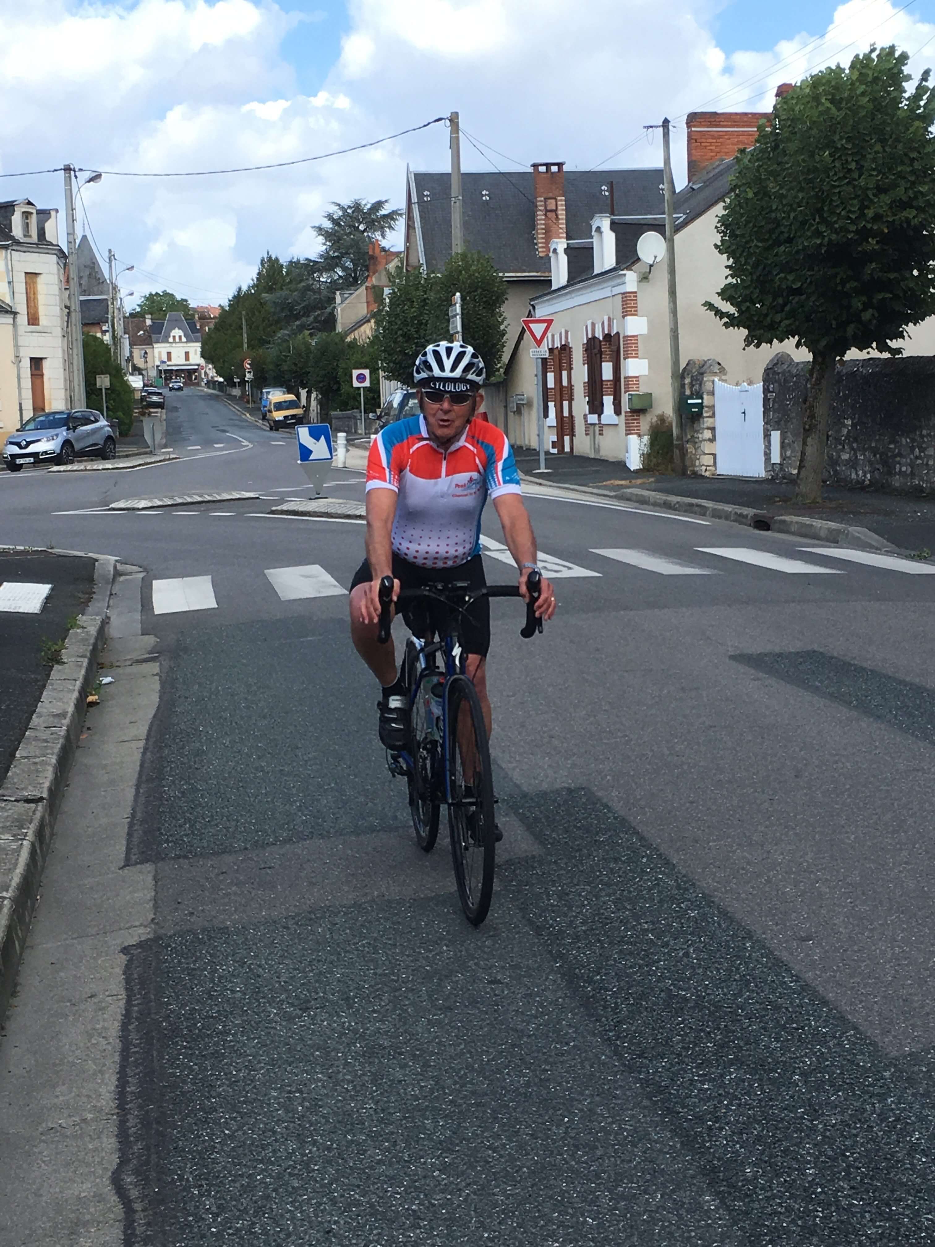
Lunch was taken in Aumont-Aubrac at 30 miles.   Coffee came up quickly at 12 miles where Isabel produced a fine treat of dark chocolate- she really treats us well with snacks. There was a long climb after coffee followed by an even longer decent into tho lovely town of Mende which I am now going to explore a little and perhaps find a pharmacy! Thanks for your comments, they are very encouraging.

Top of the descent into Mende.