Almost ready to go.

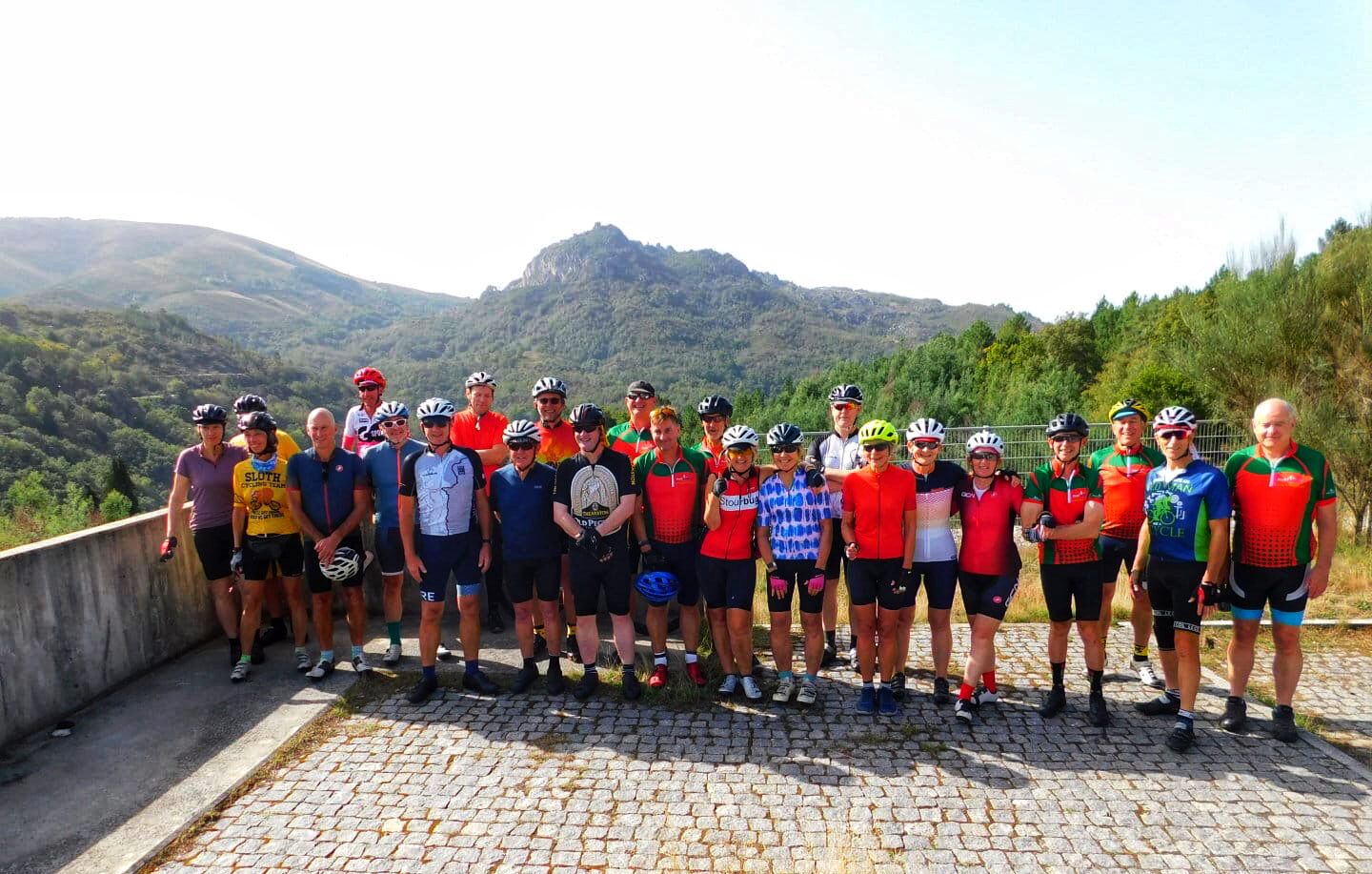
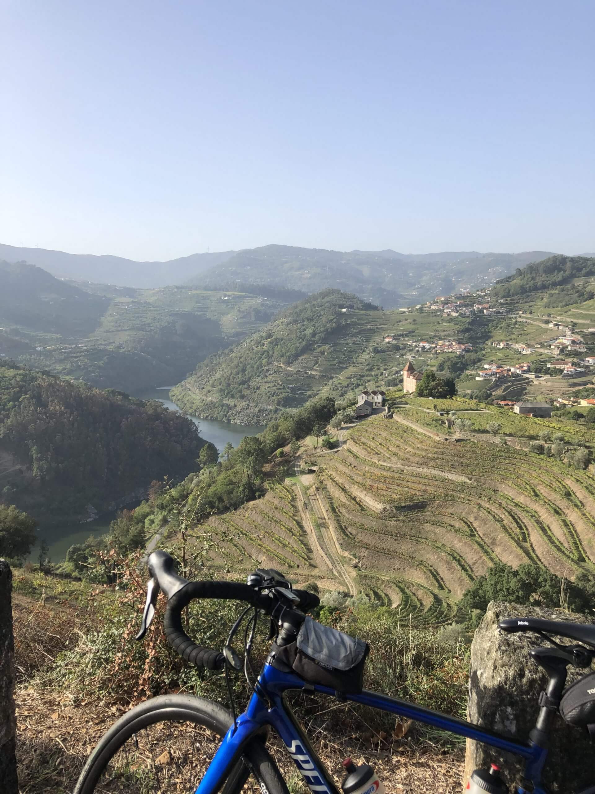
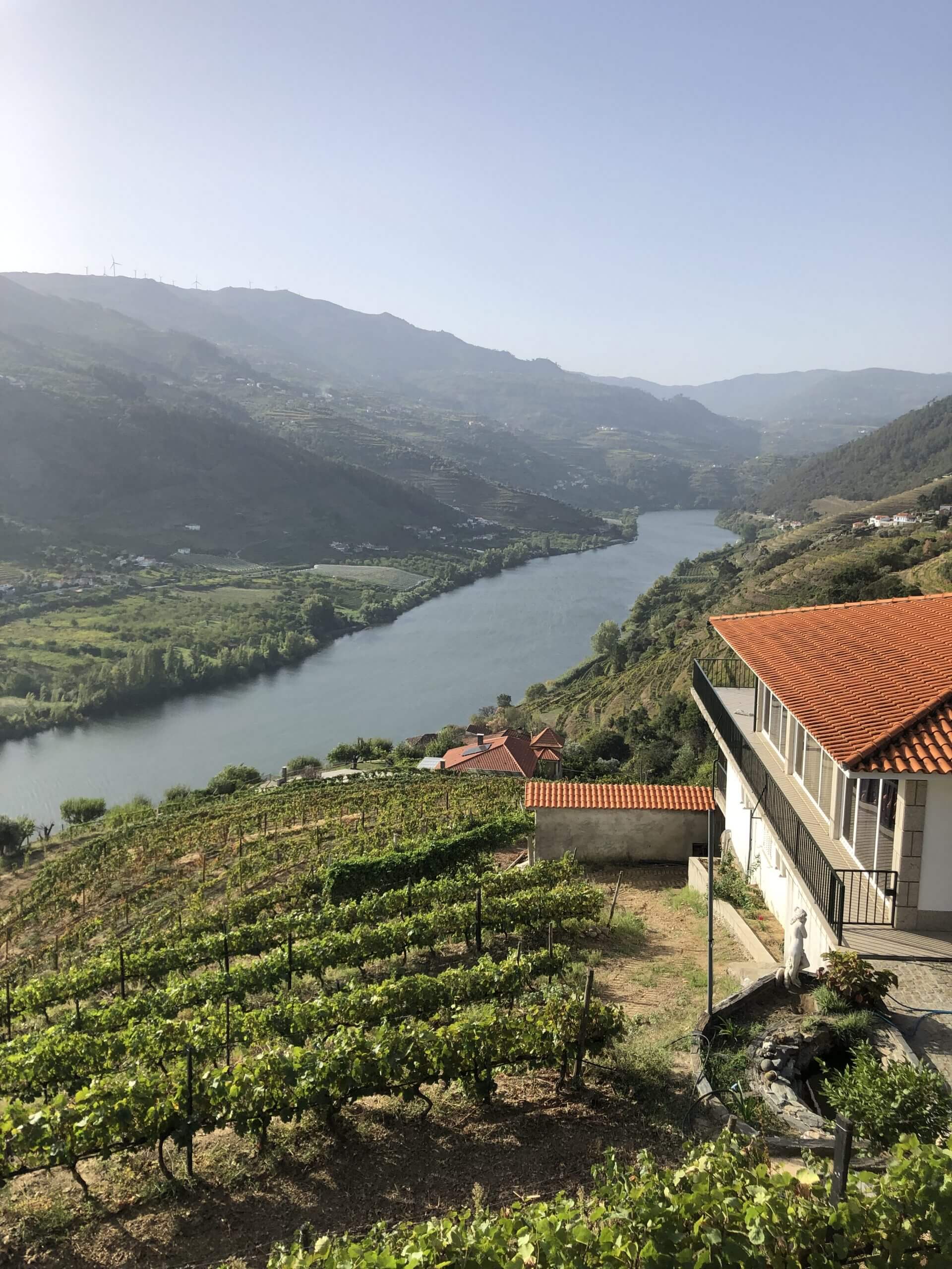
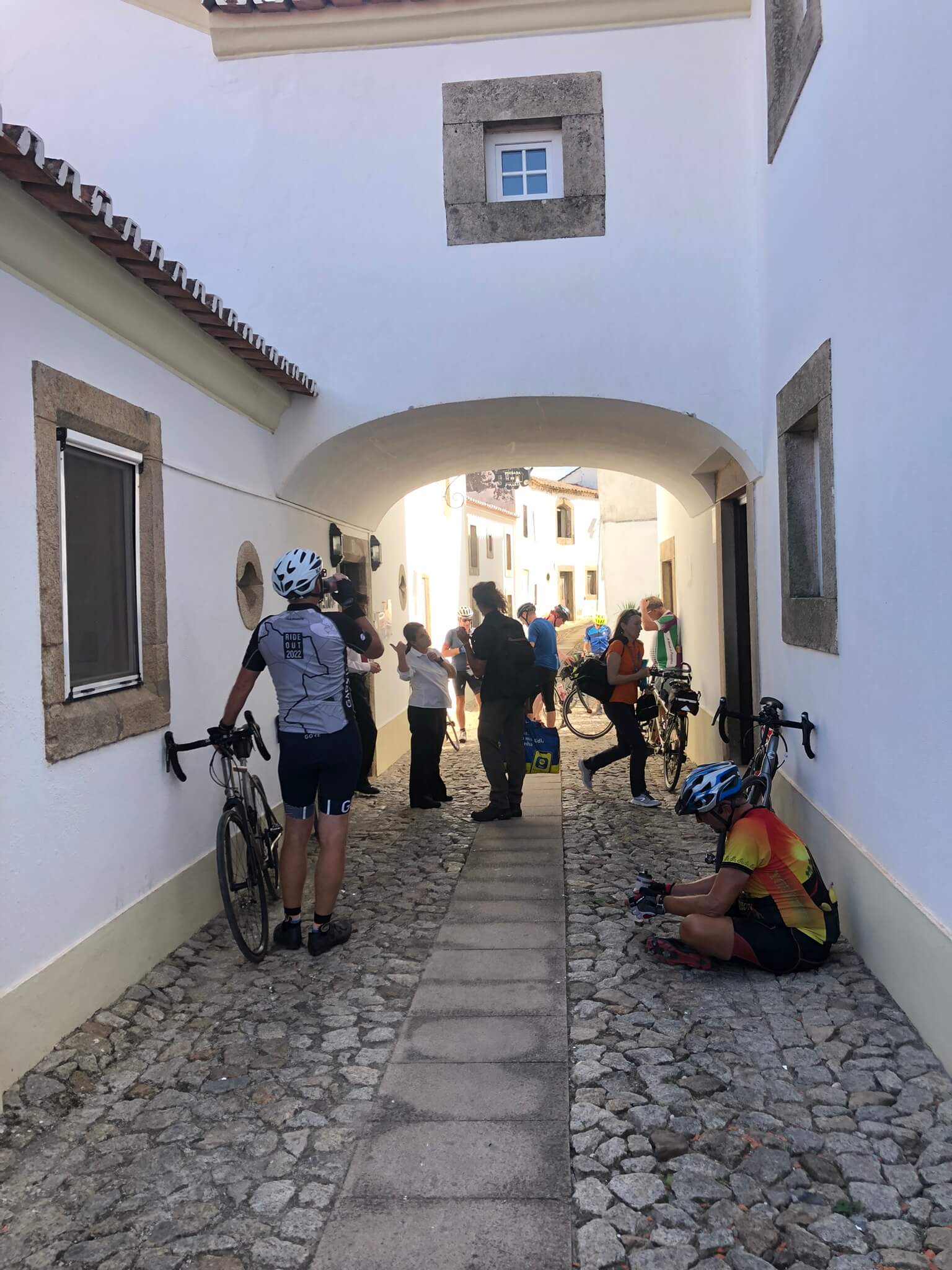
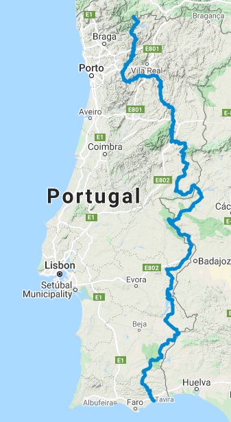
On Wednesday 5th October I begin my next cycling tour – North to South of Portugal. This tour should have taken place in October 2020 but has been postpone twice due to COVID.

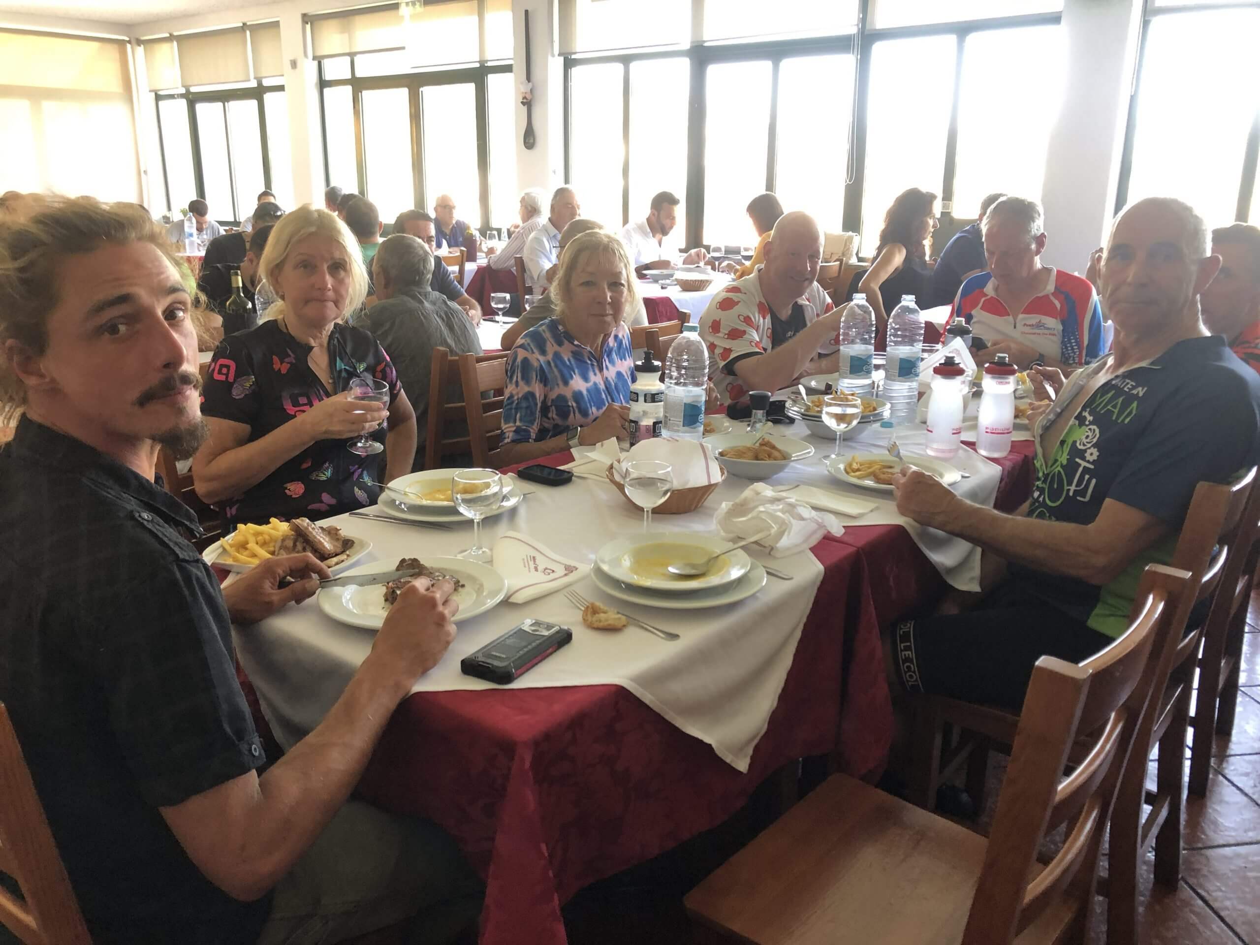
I am hoping to do a daily blog but, as with my other tours, it will depend on WIFI connectivity and time available.

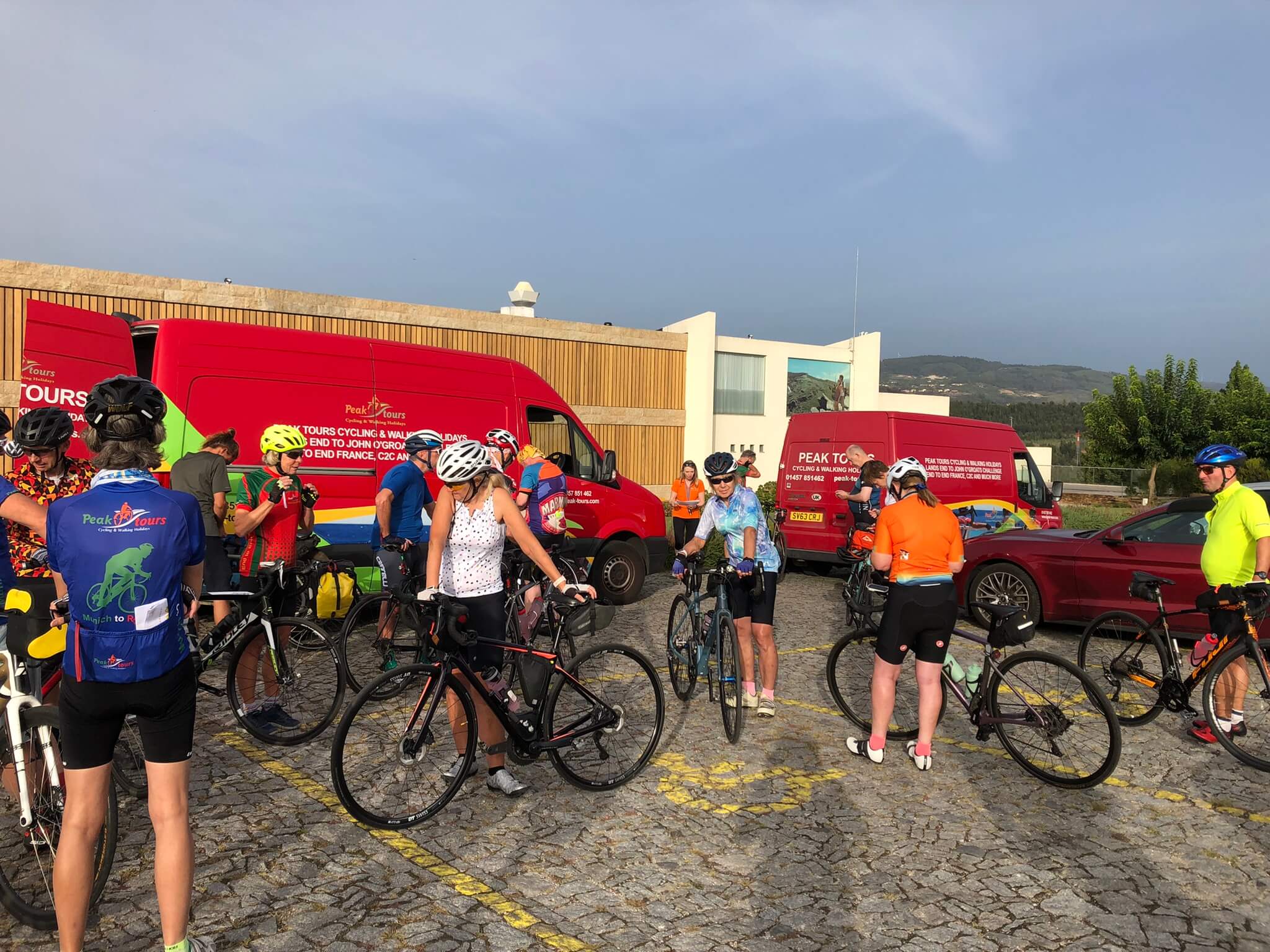
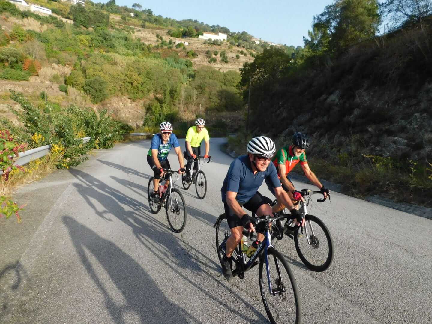
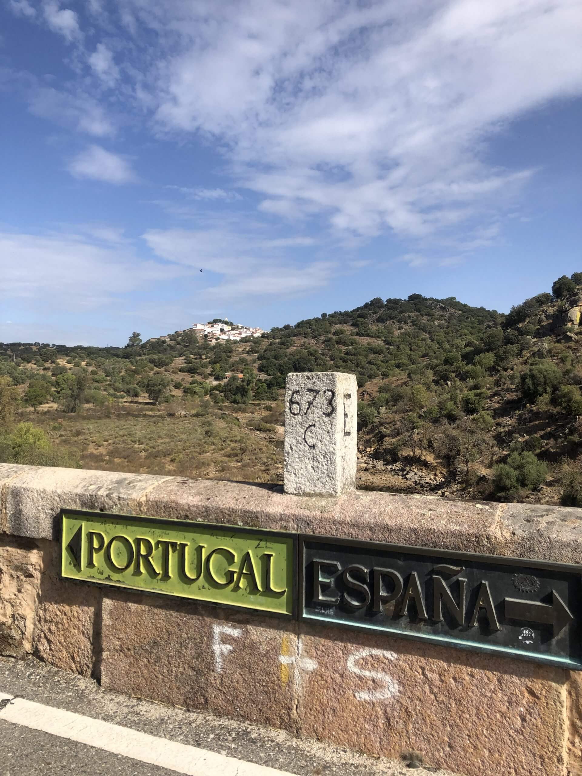
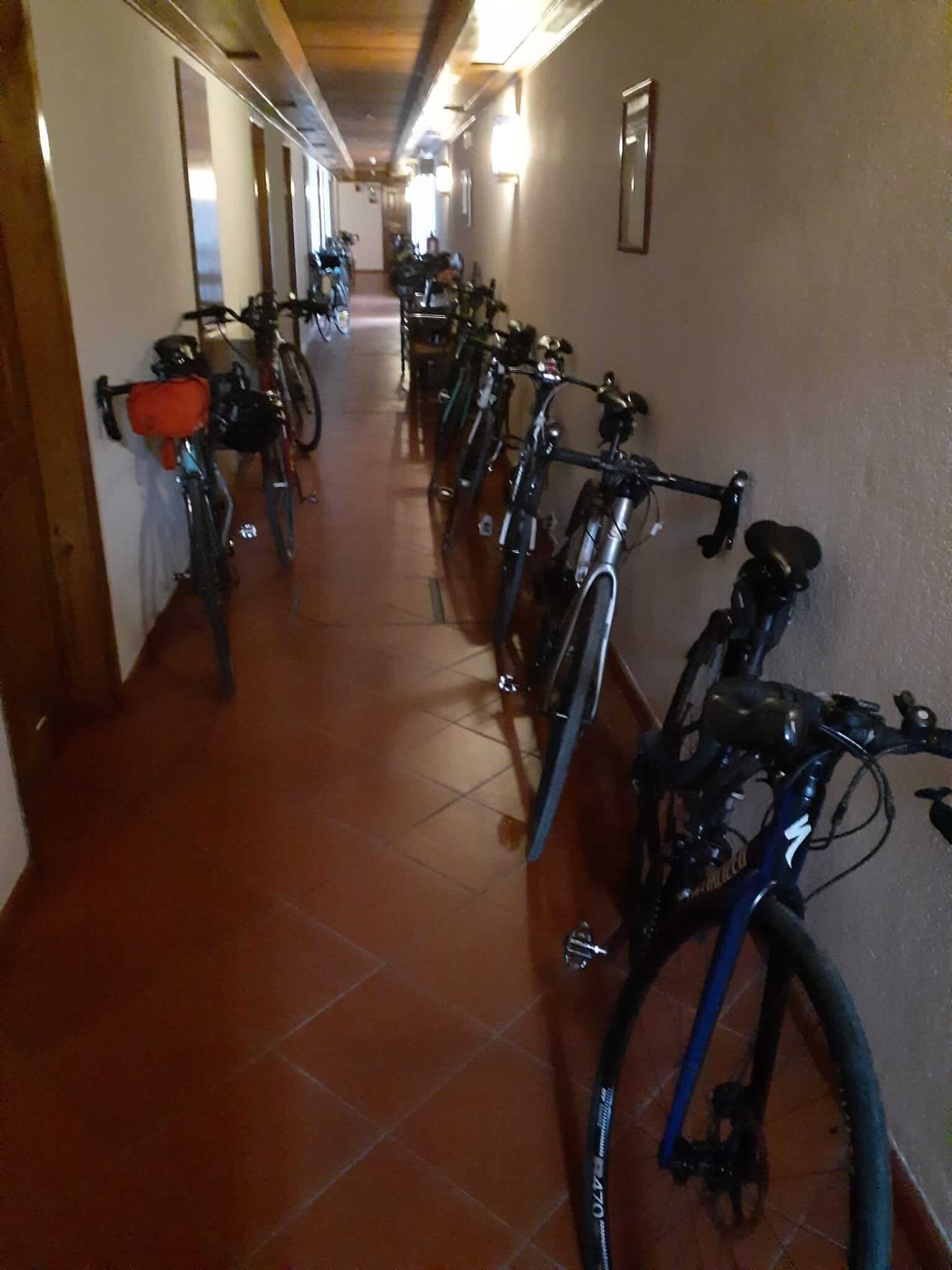
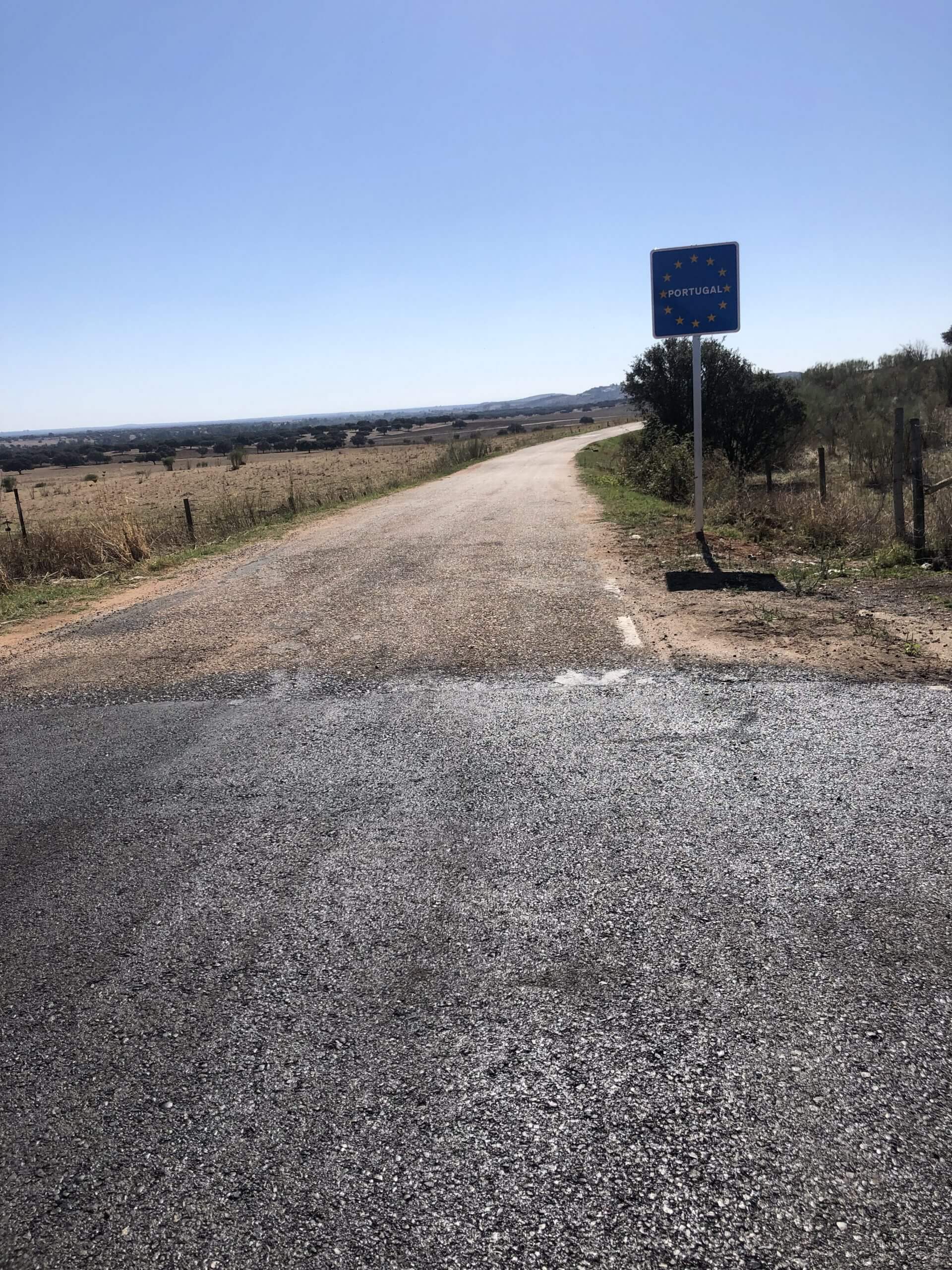
Yesterday I met Graham from Peak Tours at the M5 Taunton Deane Services and loaded my bike onto the van. I fly out to Porto tomorrow (Tuesday) and hope to be reunited with my bike on Wednesday morning, close to the northern border of Portugal and Spain , to begin the first of 11 days cycling to Tavira.

I hope you enjoy the blog and please feel free to leave comments.


Day 1. Paradela to Mondim

46.9 miles, 1,170 metres climbed and 1,600 metres of descent. (I realise I am mixing imperial and metric measures but that’s how my Garmin records things)

Clear blue skies all day with temperature of 26C.

We were bussed from Porto to our start point at the dam at Paradela. The bikes had ben transferred from Porto and were all ready and set up just leaving us to add our kit and do a test ride. We were on the bikes just after 11:15 – a later than usual start.

The reservoir behind the dam was almost totally dry – the result of 2 years of drought and extraction for hydroelectricity, according to a  local walking group member.

The climbing started immediately we crossed the dam and continued, more or less, for the next 20 miles. The majority of the day’s climbing was completed in this first part of the day.

The scenery was dramatic with a little flora and fauna.

The view back to the dry reservoir on the left.
The view back to the dry reservoir on the right
A large crocus-type flower growing in the verge
Some type of mountain goat?

After lunch Sandra suffered a rear tyre puncture which delayed us a little.

Puncture repair by committee!

We then enjoyed a long descent followed by  7 miles along a smooth cycle path – a disused railway line – which ended on the outskirts of Mondim.

The old station

There was a final sting in the tail with a cobbled climb up to our hotel.

Day 2. Mondim de Basto to the Douro River.

55.0 miles, 1174 metres climbed and 1332 metres descended.

Clear blue skies again but temperature was higher at 29C

This morning’s  briefing was at 9am where Dylan, the group leader, gave an overview of the route and then  details of  brew and lunch stops and any other significant information.

We were on the road by 9:15, making our way down the steep cobbled road we came up yesterday then on to the the old railway cycle path. This was 17 miles of smooth surface spoiled only by a series of offset barriers which interrupted the rhythm but it made a great start to the day.

The brew stop came at Amarante after which the climbing started. At the top of the first climb there was a nice rolling, twisting section through a wooded area of chestnut trees. Shortly afterwards we got our first view of the Douro River.

After a long descent into the valley lunch was taken at a riverside restaurant in Cinfaes. 41 miles done.

After lunch there was a series of long climbs and sweeping descents until we reached our hotel on the banks of the Douro.

A good day’s ride with none of the holdups of yesterday so we arrive at the hotel just before 4pm.

The view from my hotel window

Day 3. Douro River to Friexinho

53.2 miles, 1496 metres climbed, 1017 metre descended, average speed 9.44mph. Clear blue skies and temperature 26C

Left the hotel just after 9:00 and within a couple of miles hit a brutal (for me) short climb of 18%. Legs were not fully awake – I had to walk! The first time on a Peak Tours tour – gutted. Once the legs got going we climbed to the rim of the valley offering spectacular views. The photos don’t really do them justice. The hillsides are covered in terraced vineyards.

The view back to our start point on the river.

We had a sweeping descent back down to the river then a brisk section following the river, passing the Regua Dam which Mary and I went through on our Douro River cruise last year. The brew stop came up at 19 miles followed by another flat section until a 7 mile,5% climb to lunch. We lunched on cauliflower soup, mixed grill or breaded sardine, follow by dessert and coffee.

The climb up to lunch.

Following lunch we headed down again to another two  5 mile climbs with sections of 10% or more, slow progress for me (too much lunch perhaps?) but supported by my room mate Simon, a great help.

We were back in the hotel by 4:30pm

Another great day but the hardest so far for me and another hilly day tomorrow.


Day 4. Freixinho to Belmonte


65.7 miles, 1633 metres climbed, 1598 metres descended, average speed 10.3mph. Another bright sunny day with temperature of 26C. Not much respite from the sun.

Didn’t get to the hotel until 5pm after a long day so not able to post at the moment. I hope to catch up later.

Got to the hotel in reasonable time today so here are some details of yesterday’s ride.

At Friday evening’s  meal we were entertained by 3 piece guitar group and singer playing traditional Portuguese music. We left the beautiful old converted convent hotel at 9am and headed towards the foothills of the Serra de Estella, Portugal’s highest mountain range. The landscape is changing from the terraced vineyards of the Douro Valley to one of boulder strewn hillsides. Grapevines have given way to young olive trees.

Lunch came at 39 miles at the bottom of a long climb up to the entrance to the Parque National da Serra da Estrella. As we approached we could see an elaborate wooden walkway which had been constructed from a dam down into the steep valley.

The day finished with a climb up to another hilltop town – Belmonte.

Climbing with support from Dylan our group leader.

Day 5. Belmonte to Monsanto

49.3 miles, 1413 metres climbed, 1391 metres descended, temperature about 25C. Yet another blue sky day, a little chilly at the start but warmed up quickly on the first short sharp climbs.

Coffee came at 19 miles at the top a longish climb. A nice location with swings overlooking the valley we descended into. There were 2 eagles (possibly?) soaring overhead.

The run to lunch was on a good surfaced road where good progress was made despite the head and cross winds

I can’t believe it’s Day 5 and I haven’t mentioned cobbles! In the majority of towns and villages we pass through the streets are paved with cobbles making riding a little uncomfortable and interrupting any rhythm we might have.

Monsanto, our destination, is another hill top town with a steep long climb up to it. It didn’t fill me with confidence when it came. into view.

I have to admit that some walking was involved at the very top to get to the hotel.

Looking forward to shorter day tomorrow.

Day 6. Monsanto to Alcantara in Spain

39.5 miles, 696 metres climbed, 1060 descended, average speed 12.68mph. A cooler start with high cloud which cleared as the morning progressed.

Unfortunately the WIFI is very poor in the hotel so I am not able to post any photos at the moment. I may have to do an update tomorrow.

After I finished yesterday’s post  I took a walk up through the narrow, very steep streets of the town to the ruined castle at the very top. The views from there were magnificent.


This morning we headed down from Monsanto at 9am. The route to the brew stop, at 19 miles, was undulating with none of the steeper climbs of the previous days. There was a smell of eucalyptus in the air from the many trees lining the early sections of the route. After coffee we enjoyed some faster sections with nice sweeping descents.

As we bypassed the town of Segura we descended to a bridge crossing the river Erges which marks the border between Spain and Portugal. This was now a two country tour!


As we neared Alcantara there was a long descent to the river at the base of a large dam. Crossing the river there we climbed up to Alcantara and lunch.

A very welcome short day with more descending than climbing. Time to rest before we go again tomorrow.

Thanks for your comments and I hope to be able post photos tomorrow.


Day 7. Alcantara in Spain to Marvao,Portugal

50.6 miles, 1316 metres climbed,745 metres descended, average speed 11.31mph, max speed 35.86mph. The temperature peaked at 30C after lunch

This morning we cycled across the wide open spaces of Spain with mountains on the horizon. The roads were well surfaced and stretch way into the distance.

The brew stop came at 15 miles at the base of a long descent but then we had a good climb out fortified by coffee or tea, orange segments, bananas, nuts etc.

On the way to lunch my riding companion, Sandra, was stung on the nose leaving the sting behind.

We made good progress to lunch which was at a service station. Not the usual location but the food and service were good. As we left the temperature peaked at 30C.

We made our way back into Portugal – easily identifiable by bolders, narrow lanes lined with dry stone walls, cork trees- and hills.

Our destination was the hilltop town – where else? – of Marvao with a 5km climb up to it.

Checked in, bikes parked and a welcome beer.

Covered Bike Park

Another good day on the bike with some great company.


Day 8. Marvao to Vila Vicosa

The longest day of the tour today. 76.8miles, 1196 metres climbed, 1607 metres descended, average speed 13.12mph, max speed 32.56mph. another hot sunny day.

One of the advantages of staying the night in a hill top location is that the start of the ride is usually down hill. As was the case this morning, a 5km descent covered in a fraction of the time it took to climb up yesterday.

As it was a long day I didn’t stop for many photos but a couple of plants caught my eye as we entered into Spain en route to the brew stop at 23 miles.

Lunch came at 43 miles with home made lemonade – very refreshing. During the last few miles in Spain we enjoyed a newly surfaced road which was like being in cycling heaven.

However, this came to an abrupt end as we entered Portugal! Spain had obviously bagged all the EU tarmac subsidy!

Our last brew stop came in Elvas beside the four tiered aqueduct.

The last few miles to our destination of Vila Vicosa were mainly uphill and then we had to negotiate the town centre cobbles for good measure.

A long, hard day.

Day 9. Vila Vicosa to Moura

64.3 miles, 1021 metres climbed, 1207 metres descended, average speed 13.35 miles, max speed 31.89 miles. Another hot sunny day.

We left Vila Vicosa at 9am and headed out of town along cobbled streets to the outskirts. We passed several marble quarries along the way. There was an impressive castle in Alandroal but no photo I’m afraid. On to the brew stop at 23 miles.

This small church and cemetery were just before the brew stop.

We were now entering a large area of wetland, created by the Alqueva Dam, which we were to follow for the rest of the day.

Lunch came at 34 miles in the beautiful hilltop town of Monsaraz with a steep climb to get there. We had a light lunch in lovely vine-shaded courtyard.

Monsaraz Lunch Stop

The remaining 30 miles to our destination were along straight, undulating roads.

Only two days left. The time seems to have gone quickly.